|
|
Mountain/Rock |
|---|---|
|
|
57.02662°N / 3.75055°W |
|
|
Hiking, Mountaineering |
|
|
Spring, Summer, Fall |
|
|
3652 ft / 1113 m |
|
|
Overview
Pronounced – Monna Mor
Summit height - 1,113 m (3,651 ft)
Meaning – Big hill
The Cairngorm National Park was formed in 2003 to protect this unique area. It is the UK's largest national park with a large mountain range at its heart and with many diverse communities around it. The habitat offers a secure haven for many rare species and the forests include remnants of the original, ancient Caledonian pine forest. These contrast with large areas of heather moorland.
There is a well-developed ski and tourist area beneath Cairngorm mountain in the lower reaches of Coire Cas. Here, there are parking, toilet and eating facilities. In winter, it’s possible to get a bus from Aviemore to the ski area to ease the parking congestion.
Although Monadh Mor is classified as a “Munro”, it doesn’t have the presence in the landscape that other nearby peaks have. Indeed, its name perfectly describes it as a “Big hill.” Its closeness to Beinn Bhrotain to the southeast, means these two mountains are usually climbed together.
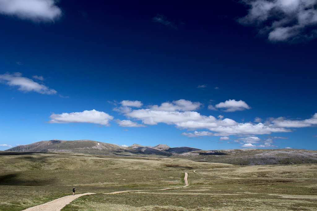
From the Larig Ghru westwards, Cairn Toul and The Devil’s point instigate a barrier, an extensive mountain plateau at around 1000m in height, with no easy escape route and which lasts until Glen Feshie is reached around 20 km further west.
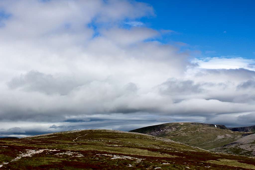
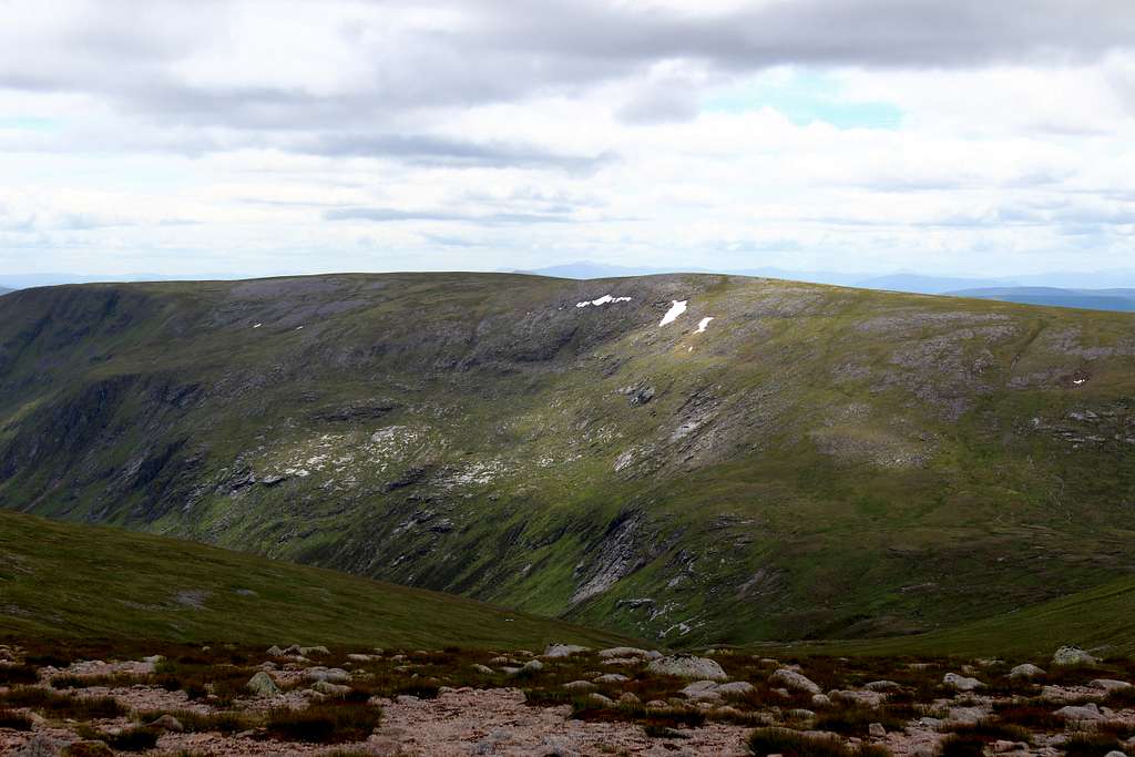
Monadh Mor rises up out of the Moine Mhor – the boggy plateau of tundra to the east – as a long, green whaleback shaped ridge. Its small summit cairn is difficult to see from a distance as being the top of a mountain. It’s remoteness, lack of features and extensive wet and boggy ground, make it a route for a good weather day and one to be avoided when the mists roll in!
Furthermore, one of the great attractions for climbing it is the views of the aforementioned Cairngorm mountains and rarely seen valleys passed en route.
The main starting points for any ascent would be Achlean in Glen Feshie or Linn of Dee near Braemar
Getting There
Aviemore is the main town to use as a base for the northern Cairngorms. It has many hotels and shops and provides a good bus service to the area as well as a good train service to the wider country.
By road, Aviemore is easily accessed from the main A9 road which links Glasgow with Inverness. From Aviemore, take the road towards the Coire Cas ski development but just before Inverdruie, take a right turn on the B970 towards Feshiebridge.
Follow this road down Glen Feshie for approximately 6 miles to the edge of Feshiebridge and take the left turn sign posted towards Lagganlia and Achlean.
Continue down to the end of the public road and to the free car park at Achlean.
If approaching from the south (Glasgow), take the M9/A9 roads to Perth, then the A93 north through Glenshee to Braemar. This has a limited number of shops and services. The only Bus service is the Stagecoach service no 201, Aberdeen to Braemar. There is no nearby train service and at time of writing, no Taxi service in Braemar
The starting point from the south is the National Trust car park at Linn of Dee. This is a pay and display car park (free for NT members).
Routes
Monadh Mor is a remote mountain and from a practical point of view, it would be efficient to take in Beinn Bhrotain which is nearby at the same time.
There are two main starting points and whichever route you choose, this will be a long day out in a remote area so make sure you are fully prepared.
Starting points:
Linn of Dee National Trust Car Park – Map reference 062898
Car Park at Achlean, Glen Feshie – Map reference 851985
Blue route
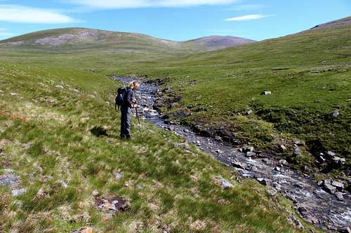
From the Linn of Dee car park, return to the road and turn right (west) to where the road crosses the river on a bridge. Continue straight ahead on a track with the river on your left.
Follow this track parallel to the river for about 5km until it crosses over the river at the White bridge crossing.
Follow the rough track along the riverside, this time with it on your right in a northerly direction.
Continue on this path beneath the rocky crags of Beinn Bhrotain, The Devil’s point will be seen ahead. As the path swings around to the west, it enters Glen Geusachan and climbs the glen, Monadh Mor can be seen ahead.
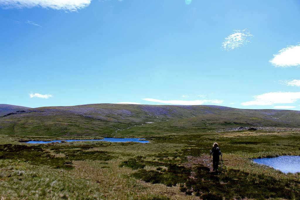
The path may become rather vague in the boggy ground but the route follows the river up towards Loch nan Struirteag. Before reaching the loch, find a way uphill to the west onto the north ridge of Monadh Mor. From here turn south on the broad, stony ridge to reach the summit cairn. This may be difficult to find in poor visibility.
From the summit of Monadh Mor, follow a vague path southward to a cairn on Leac Ghorm where the ground descends steeply to the bealach between the two mountains.
On a clear day there will be good views into Glen Geusachan and of The Devils point, Ben Macdhui and Cairn Toul.
At the bealach, follow the path uphill until it vanishes in an enormous field of granite boulders. Make your way over these to the summit of Beinn Bhrotain where there is a trig point and a large cairn.
To descend, head southeast towards the top of Carn Cloich – mhuilinn then descend to the northeast to reach the stream of Allt Garbh. Follow this downhill until the path used earlier from Linn of Dee is reached.
Retrace your steps from here to Linn of Dee.
Total route length – Approx. 37.8 Km – 23.6 miles
Purple route (Alternative descent route from Beinn Bhrotain)
There is an alternative descent route for those who may wish to take in the summit of Carn Cloich – mhuillin - originally a Munro but now downgraded to a “Top”.
From the summit of Beinn Bhrotain, descend to the southeast, across the boulder slope to a vague path which descends then gradually re-ascends to the summit.
Descend southeast on a small path to re-join the path to Linn of Dee.
|
|
Orange route
From the car park at Achlean, walk down the road towards the farm of Achlean and follow the path on the left, through the woods and onto the heather covered hillside of Coire Fhearnagan.
Follow this well-made path upwards onto the plateau until a large cairn where several paths meet.
Head southeast on a feint path that descends across the Moine Mhor. Monadh Mor appears ahead as a green and grey whaleback ridge.
An ATV track appears from the right and the route joins this and heads east until the track abruptly ends above a river.
Descend to the river and cross easily on steppingstones, then continue southeast across the moor. This can be boggy underfoot and any path may not be clear, so head for the top of a grassy hill, Tom Dubh (918m).
There are drystone walls at the top to shelter from the wind. Descend to cross the River Eidart. This is a surprisingly large river on a plateau and if it is in spate, it may be difficult to find a crossing point.
On the other side of the river, head southeast upwards onto the wide, stony ridge of Monadh Mor. At the crest, turn south and head for the summit, this may be difficult to find in poor visibility.
From the summit of Monadh Mor, follow a vague path southward to a cairn on Leac Ghorm where the ground descends steeply to the bealach between the mountains.
On a clear day there will be good views into Glen Geusachan and of The Devils point, Ben Macdhui and Cairn Toul.
At the bealach, follow the path uphill until it vanishes in an enormous field of granite boulders. Make your way over these to the summit of Beinn Bhrotain where there is a trig point and a large cairn.
To descend, retrace your steps all the way back to Achlean.
Total route length – Approx. 29.8 Km – 18.6 miles
Red Tape
No red tape.
However, Scotland has an Outdoor Access code, see link:
https://www.outdooraccess-scotland.scot/practical-guide-all
When to Climb
Spring, Summer or Autumn (Fall) depending on conditions.
Warning: The above descriptions are for use in reasonable summer conditions. Winter conditions can occur at almost any time of the year. In winter condition, this mountain is a much more serious proposition. Any paths may be covered by snow and ice and gale force winds are common. Ice axe, Crampons, the knowledge of how to use them allied with excellent map reading and compass skills are essential.
Accommodation
Hotels and self-catering accommodation around Aviemore. Many campsites in Aviemore, Coylumbridge and Loch Morlich but it’s probably best to book a place in advance during high season.
There are a limited number of Hotels, guesthouses and B&B premises in Braemar and there are many self-catering cottages in the area.
There is a caravan and campsite in Braemar, see the Braemar information page for details of all of these.
It is possible to wild camp in Scotland. See the Outdoor Access code for more details.
External Links
Walk highlands - https://www.walkhighlands.co.uk/
SMC - https://www.smc.org.uk/
Cairngorms club - https://www.cairngormclub.org.uk/
Cairngorms National Park - https://cairngorms.co.uk/
Braemar information - http://braemarscotland.co.uk/
The Cairngorms – Adam Watson (SMC guidebook)
The Munros – (SMC Hillwalkers guidebook)
The High Mountains of Britain and Ireland – I. Butterfield