-
 24248 Hits
-
 89.58% Score
-
 30 Votes
|
|
Mountain/Rock |
|---|---|
|
|
37.48400°N / 121.864°W |
|
|
Alameda/Santa Clara Counties |
|
|
Hiking |
|
|
Spring, Summer, Fall, Winter |
|
|
2594 ft / 791 m |
|
|
Overview

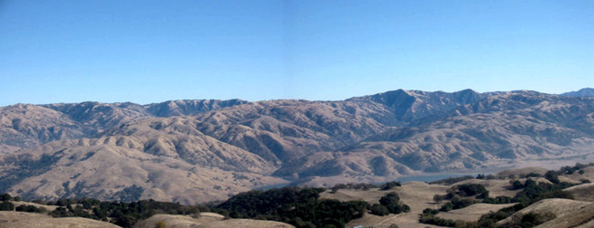
Monument Peak is in the Mission Peak Regional Preserve, lying on the Santa Clara and Alameda County Lines. It is along the Bay Area Ridge Trail and very close to Mission Peak and Mt Allison and can be climbed in conjunction with one another. Other mountains visible from the summit include Mt Diablo, Mt Tam, and Copernicus Peak. Getting to Monument Peak is a mellow, but lengthy hike. The summit offers great views of the Bay Area and surrounding areas.
Getting There
From southbound I-680 in Fremont (coming from Pleasanton or Oakland): for the Ohlone College staging area, take Mission Blvd./Hwy. 238 exit and turn left (south). Go 1.1 miles and turn left on Anza-Pine Road into the Ohlone College campus. Park in lots M, N, O, or P. Purchase an Ohlone College parking ticket from the vending machine. Parking without a ticket may result in a citation. Proceed to the Park District information panel at the trailhead. For the Stanford Ave. staging area, continue south on Mission Blvd. for 1.7 milesto Stanford Ave. and turn left. Proceed 0.6 miles to the staging area.From northbound I-680 in Fremont (coming from Santa Clara County): for the Stanford Ave. staging area, take Mission Blvd. exit and go 0.7 miles to Stanford Ave. Turn right and go 0.6 miles to the staging area. For the Ohlone College staging area, continue north on Mission Blvd. for 1.7 miles to Anza-Pine Road. Turn right on Anza-Pine Road into the Ohlone College Park campus. Park in lots M, N, O, or P. Purchase an Ohlone College parking ticket from the vending machine. Parking without a ticket may result in a citation. Proceed to the Park District information panel at the trailhead.
If your starting from the Stanford Ave. staging area check out the via Mission Peak route.
For maps of the area click here for downloadable or printable maps.
Monument Peak is also accessible from Sunol Regional Wilderness via the Ohlone Wilderness Trail with an Ohlone Trail Permit in possession; and from Ed Levin County Park in Santa Clara County via the Bay Area Ridge Trail. The number to call to find out about getting a membership from the Regional Parks Foundation is (510) 544-2203 or click here to go the the member section of their website.


