|
|
Mountain/Rock |
|---|---|
|
|
38.40050°N / 122.1061°W |
|
|
Solano |
|
|
Hiking |
|
|
Spring, Summer, Fall, Winter |
|
|
2819 ft / 859 m |
|
|
Overview of Mount Vaca
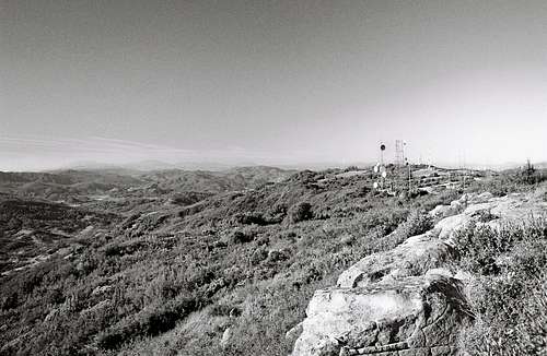
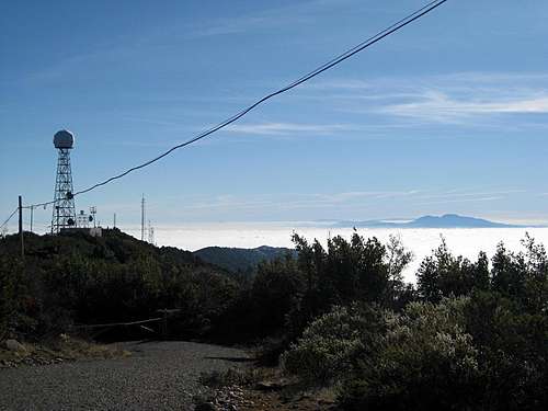
On first glance of Mount Vaca you might not think the peak is very special. From miles away it is nothing more then an antenna and tower covered bump on Rocky Ridge (also known as the Vaca Mountains). The Vaca Mountains are a small range on the eastern edge of the coastal range and they tower over the city of Vacaville at western end of the Sacramento Valley. The mountains rise over 2000 feet above the Sacramento Valley and form a natural border for Solano and Napa counties.
Mount Vaca is not only the highpoint of the Vaca Mountains, it is also the highpoint of Solano County. And that is the main reason that people visit the peak. Well that and to service the equipment on its summit. At 2819 feet this Chaparral covered peak is high enough to get snow at least once a year, but most of the year is bone dry with the exception of a small pond near the summit.
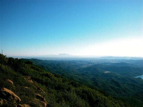
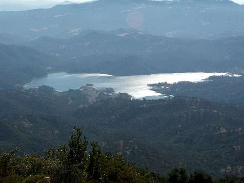
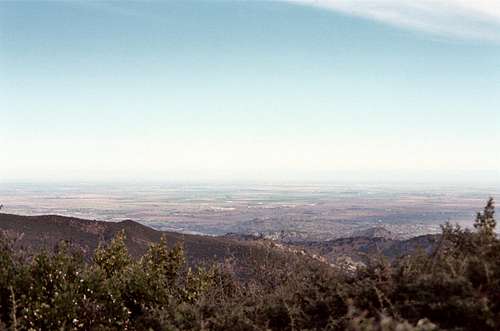
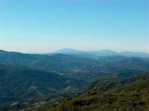
The other thing that makes Mount Vaca special is the view. Due its location at the edge of the Sacramento Valley you can often see the Sierra Nevada on the other side of the Valley. On the clearest days you can see 10 other county high points. Looking south you can see Mount Diablo rising over the east bay. To the southwest Mount Tamalpais towers above Marin County and if you look closely you might see the Golden Gate Bridge. To the east lies Mount St Helena and Cobb Mountain. Looking north along Rocky Ridge if you know what your looking for you might spot Little Blue Peak the unassuming highpoint of Yolo County. Further north is Snow Mountain and on the clearest of days you might see the giant of the north Mount Shasta. Rising high in the southern Cascades are Lassen Peak and Brokeoff Mountain. In the center of the Sacramento Valley are the Sutter Buttes, which hold the title of being the worlds smallest mountain range.
Getting To Mount Vaca
Getting To Mount Vaca From San Francisco
There are many ways to get to Mount Vaca from San Francisco. I will describe two routes. Route 1 heads north across the Golden Gate Bridge on Highway 101 and then takes High 37 to connect with Interstate 80 in Vallejo. This is the longer more scenic route. Route 2 heads east to Oakland on the Bay Bridge on Interstate 80. This route is about 10 miles shorter, but the traffic is worse.
Route 1 via Golden Gate Bridge: From the junction of Highway 1 and 101 in San Francisco to trailhead, is about 71 miles and 1 hour and 45 minutes. Take U.S. Route 101 north across the Golden Gate Bridge into Marin County. After about 21 miles merge onto Highway 37 towards Vallejo. After another 21 miles, take the I-80 exit towards Sacramento. Take I-80 north, through Fairfield for another 17 1/2 miles and take the Cherry Glen Road/Lagoon Valley Road exit. Turn left onto Lagoon Valley Road and drive over the Interstate. After a quarter mile the road becomes Cherry Glen Road. Follow Cherry Glen Road for 1 mile until you reach the intersection with Pleasants Valley Road. Turn left onto Pleasants Valley Road. Drive Pleasants Valley Road for 5 miles until you reach Mix Canyon Road. Mix Canyon Road will be on the left and side and easy to miss. Turn left onto Mix Canyon Road and follow it up for 4.7 miles until you come to a “Y” in the road. Look for a turn off and park.
Route 2 via Bay Bridge: From the junction of Interstate 80 and Highway101 in San Francisco to trailhead, is about 61 miles and 1 hour and 30 minutes. Take Interstate 80 east across the Bay Bridge into Oakland. Take I-80 north, through Berkeley, Richmond, Vallejo and Fairfield for about 42 miles and take the Cherry Glen Road/Lagoon Valley Road exit. Turn left onto Lagoon Valley Road and drive over the Interstate. After a quarter mile the road becomes Cherry Glen Road. Follow Cherry Glen Road for 1 mile until you reach the intersection with Pleasants Valley Road. Turn left onto Pleasants Valley Road. Drive Pleasants Valley Road for 5 miles until you reach Mix Canyon Road. Mix Canyon Road will be on the left and side and easy to miss. Turn left onto Mix Canyon Road and follow it up for 4.7 miles until you come to a “Y” in the road. Look for a turn off and park.
Getting To Mount Vaca From Oakland
:From the junction of Interstates 80 and 580 in Oakland to trailhead, is about 54 miles and 1 hour and 15 minutes. Take I-80 north, through Berkeley, Richmond, Vallejo and Fairfield for about 42 miles and take the Cherry Glen Road/Lagoon Valley Road exit. Turn left onto Lagoon Valley Road and drive over the Interstate. After a quarter mile the road becomes Cherry Glen Road. Follow Cherry Glen Road for 1 mile until you reach the intersection with Pleasants Valley Road. Turn left onto Pleasants Valley Road. Drive Pleasants Valley Road for 5 miles until you reach Mix Canyon Road. Mix Canyon Road will be on the left and side and easy to miss. Turn left onto Mix Canyon Road and follow it up for 4.7 miles until you come to a “Y” in the road. Look for a turn off and park..
Getting To Mount Vaca From Sacramento
: From the junction of Highway 50/Interstate 80 and Interstate 5 in Sacramento to trailhead, is about 45 miles and 1 hour. Take I-80 west towards San Francisco through Davis, Dixon and Vacaville. After about 34 miles take the Cherry Glen Road/Lagoon Valley Road exit. Turn right onto Cherry Glen Road. Follow Cherry Glen Road for 1 mile until you reach the intersection with Pleasants Valley Road. Turn left onto Pleasants Valley Road. Drive Pleasants Valley Road for 5 miles until you reach Mix Canyon Road. Mix Canyon Road will be on the left and side and easy to miss. Turn left onto Mix Canyon Road and follow it up for 4.7 miles until you come to a “Y” in the road. Look for a turn off and park.
Airports
• Nut Tree Airport: 301 County Airport Road, Vacaville, CA 95688, (707) 469-4600. This small airport is located in Vacaville near the Nut Tree theme park. It is a small airport used for private planes. No airlines fly into it.
• Oakland International Airport (OAK): This airport located in Oakland and is the closest major airport in the bay areato the Mount Vaca. Most major U.S. and a few international carriers fly into Oakland.
• San Francisco International Airport (SFO): San Francisco International Airport is located approximately 13 miles south of San Francisco, near the junction of Highways 101 and 380. SFO is located in San Francisco and is about 1 and a half hours form Mount Vaca. Not as convenient as Sacramento or Oakland, but for international travelers it is the only real option outside of LAX. Other options in the Bay Area are Oakland International and San Jose International Airports.
• Sacramento International Airport (SMF):This airport is located north west of Sacramento, and is the closest major airport in the bay area to the Mount Vaca. Sacramento International has all the major U.S. airlines as well as a few international carriers.
Trails and Routes Up Mount Vaca
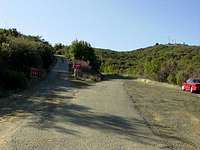
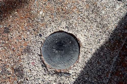
There is basically one route to the summit of Mount Vaca. And that is to hike from the pull off at the “Y”. The hike is self an easy 1.8 miles round trip with 250’ of elevation gain. Although this can be strenuous in the summer time when temperatures can get well over 100°. From the parking area, cross the road to the gate. Every time I have gone up there the gate has been unlocked so I imagine the gate is kept unlocked at all times. Follow the road as rises and dips for 0.5 mile to another “Y”. Take the right branch and hike another 0.4 mile until you reach the high point near a tower marked with a 20. There is a benchmark on the south side of the tower and as far as I can tell the highest spot is small group of rocks to the east of the tower.
For those feeling more adventures, you can do a 11.2 miles round trip hike of bike from the Mix Canyon Road/Pleasants Valley Road. This variation would have about 2200’ of elevation gain.
For those that are totally insane. There is a possible bushwhack, from up the Napa County side. The Ridge on this side is pretty steep and covered in Chaparral and rattlesnakes. So I don’t recommend it. But it would be one hell of a trip report.
Red Tape
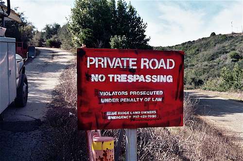
Mount Vaca, itself is owned by the United States Government. And there are signs all over the place saying “private property “and No Trespassing”. But according to Gary Suttle's "California County Summits", the public has a “prescriptive easement” to the road. This means you can walk over it, in spite of the signs saying you can’t. Just try and stay out of the fenced off areas.
Camping and Lodging Near Mount Vaca
Camping</h3 >
The closest camping is at Lake Solano County Park. This campground is located on Pleasants Valley Road7.4 miles north of the Mix Canyon Road/Pleasants Valley Road junction. It has 90 sites and is open year round.
Lodging</h3 >
At the base of Mount Vaca is a Vacaville. Vacaville is a city of just short of 100,000 people and there is plenty of lodging available. There is also lodging in nearby Fairfield and Dixon, or you can drive further to Sacramento or even Napa.
When to Climb Mount Vaca
Mount Vaca can be climbed year round. But I highly recommend not going during summer. Temperatures in the central valley often get above the century mark during summer and Mount Vaca is no exception. It might also be a good idea to avoid Mount Vaca during late spring or early fall.
Mount Vaca Conditions and Hazards
Hazards
This minor peak is not with out danger. I imagine there are quite a few rattlesnakes hiding in the chaparral or sunning themselves on a rock or in the road when the temperatures start warming. Also ticks could be a problem if you brush up against tall grass or a bush. Another possible hazard would be heat, during the summer months.
Mix Canyon Road itself has plenty of hazards. It is a narrow and twisty one-lane road and there are plenty of blind corners. So please slow down and keep your eyes out for bicyclist. When hiking the road that is the trail to the summit, keep and ear out for service trucks.
Mountain Conditions
Caltrans Current Highway Conditions.
Etymology
Also Valley, Vacaville, Mountains
"These places perpetuate the name of the Vaca family, which came to California in 1841 from New Mexico, where Vaca is a well-known surname. Juan Manuel Vaca was co-grantee of the Los Putos or Lihuaytos grant, dated Aug. 30, 1845, on which the town is situated. The plat of the town was filed in Dec. 1851, and the township was created and named on Nov. 1, 1852. Vaca Valley and Mountains are mentioned in the Statues of 1855."
Erwin Gudde, California Place Names
Additional Information About Mount Vaca
Maps
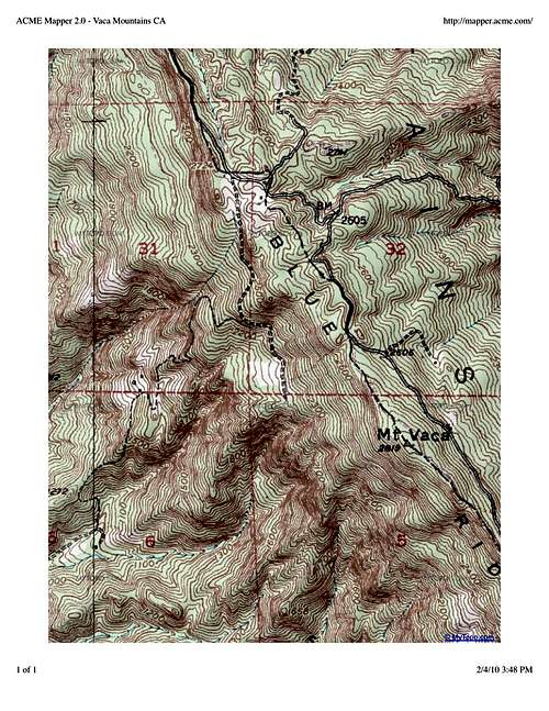
· USGS 7 1/2-minute Mount Vaca









SFillippone - Jan 11, 2009 2:52 am - Hasn't voted
Change of "peak" ownershipJust wanted to write a note that Vaca Mountain, the high point for solano county california, has recently changed hands and no longer belongs to the US government, by searching the surplus FEDERAL lands web site I saw that it went up for aution in 10-08 and was sold, some 36 odd acres I think. Egress and Ingress rights were retained to service but the land around is possibly private...so just a heads up for the elves......great site thanks!
sfpcservice - Aug 20, 2011 8:51 pm - Voted 10/10
Public EasementThe info about a "prescriptive easement" needs to be corrected. The road across the top of Mt. Vaca is Blue Ridge Road (County RD. 354) Between Mix Canyon Rd. and Gates Canyon Rd. According to the county surveyors office, the road is not maintained by the county, it is maintained by the land owners on Mt. Vaca. But, there is a public easement on this road making it county road 354. The county surveyor stated the "no trespassing" signs are unenforceable because of this easement which was recorded in 1894. I have a PDF of the county maps and of the easement if anyone wants them, send me a message. The property on either side of the road is private however, so those signs are enforceable.
Jesus Malverde - Mar 13, 2012 6:16 pm - Hasn't voted
Additional Fun!Vat!? a short hike up Mt. Vaca not enough of a challenge? Then bring your bicycle and ride up Mix Canyon Road.. •Steepest Mile in California at 15.8%. Second place goes to Old Priest Grade at 15.0%. http://www.toughascent.com/blog/?p=224 Enjoy!