Page Type Page Type: Mountain/Rock
Location Lat/Lon: 37.79600°N / 107.821°W
Additional Information Elevation: 13761 ft / 4194 m
Sign the Climber's Log

Overview

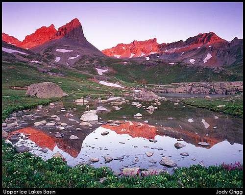
Fuller Peak (along with Golden Horn) is the most prominent peak seen from the upper Ice Lakes Basin. Each morning the sun lights this peak ever so perfectly and a photographer camped at either Ice Lake or Fuller Lake will be in heaven with the gleaming red and orange glow that makes Fuller Peak so powerful, despite being unranked. Typically, Fuller Peak is climbed with the better known centennial Vermilion Peak. Ice Lakes Basin is thought by many to be one of Colorado's most beautiful places. It is actually amazing how well this area is preserved despite the very short and easy hike to get to it. A hike up into Ice Lakes Basin is guaranteed to satisfy your craving for beauty, nature and alpine lakes, just don't expect too much solitude. Bring your camera and if you go in July you will be greeted with Colorado's best alpine wildflower displays. For those with the additional craving for summits, Fuller Peak certainly won't disappoint, and together with Vermilion Peak would make a fantastic day in the San Juans.

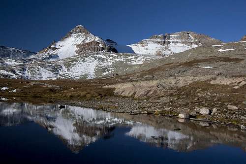
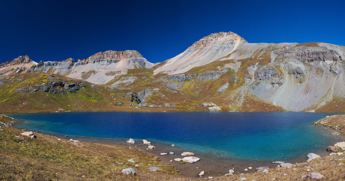
Ice Lake and Fuller PeakFuller Peak
Fuller PeakFuller Peak detail
Fuller Peak, Vermilion and Golden HornFuller, Vermilion & Golden Horn
Lower Ice Lake BasinHiking to Ice Lakes Basin

Getting There

The trailhead for Fuller Peak is the Ice Lakes Basin trailhead accessed from the South Mineral Creek Road. From the CO 110/US 550 intersection in Silverton, head north on US Highway 550 towards Red Mountain Pass for 2 miles and turn left onto the dirt road with signs for the South Mineral Campground. Follow this good road for 4 miles to the trailhead. You could also make the approach shorter by heading right up a rougher road that branches off about a mile before the South Mineral campground and drive up this road to the first switchback (continuing on this road will take you all the way to Clear Lake). This will save you about 550 feet of vertical and almost 2 miles round trip. At this first switchback, there is room for a few cars and a short trail crosses below a waterfall and meets the main trail. Tough passenger cars with good clearance can usually make it to the first switchback but 4WD would be required to go any further to Clear Lake.

The Beautiful Lower Ice Lakes...Fuller Peak is the first main peak you see when approaching
Golden Horn, Colorado SunriseIce Lakes Basin sunrise

The trail climbs steadily through open meadows and trees with great views of the Wilson Group until it reaches the lowest Ice Lake where in a valley. You can camp here but the overall distance is so short it is best to continue up the trail as it climbs the headwall of the lower valley and reaches Upper Ice Lake just above 12,000 feet in elevation. Upper Ice Lakes Basin holds snow well into June but in July and early August the wildflower displays are fantastic!

WaterfallLower Ice Lakes
Ulysses S Grant PeakWildflowers at Island Lake
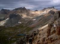
Ice Lakes BasinIce Lakes Basin: Fuller on the left
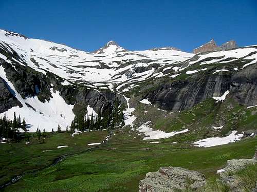
Ice Lakes Basin Snow covered Fuller peak on the left

The standard route for Fuller Peak starts out the same as if you were climbing Vermilion. Most people add on Fuller after a climb of Vermilion. Continue up the trail towards Fuller Lake where there is an old mining cabin that's in surprisingly good condition. Fuller Peak towers over Fuller Lake with Vermilion somewhat hidden. Walk around the right side of Fuller lake and walk up the valley on orange colored talus or snow aiming for the Vermilion/Fuller saddle. The final climb to this saddle usually has moderate snow on it so axe and crampons may be needed. From the saddle at about 13,500 feet, turn left and walk the easy ridge to the summit. Views of Vermilion are beautiful.

FullerFuller Peak towering above Fuller Lake
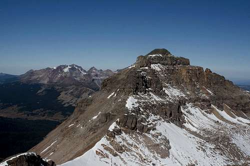
Vermilion PeakVermilion Peak from the summit of Fuller Peak

Red Tape/Camping

Camping is available at any of the campgrounds along the South Mineral Road (South Mineral Campground). This area gets very busy with campers in the summer as it's free camping with a 14 day limit. There are many great places to pitch a tent in lower and upper Ice Lakes Basin. This is all National Forest land so there is no red tape. There are many mining ruins in the area so be weary of adits or shafts that may be hidden. Practice leave no trace policies.

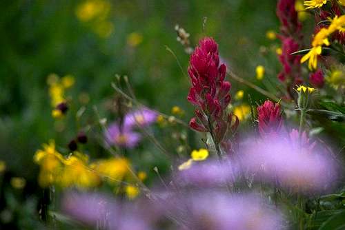
During the summer mainly in July the Ice Lakes Basin is filled with many wildflowers from Columbines, Indian Paintbrush, Lupines and more. Try to avoid stepping on these beautiful flowers when you hike through the area. Better yet, try and stay on the designated trails or stream beds during the summer. These flowers only bloom for maybe 5-6 weeks of the year and they are easily killed. Keep them alive for all to enjoy.

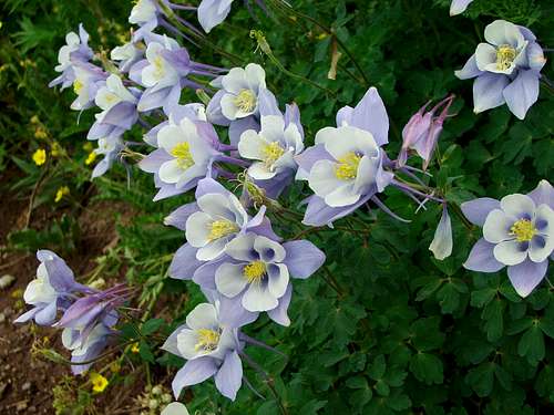
ColumbinesColorado's state flower, the Columbine
Pink PaintbrushIndian Paintbrush

The Summit View

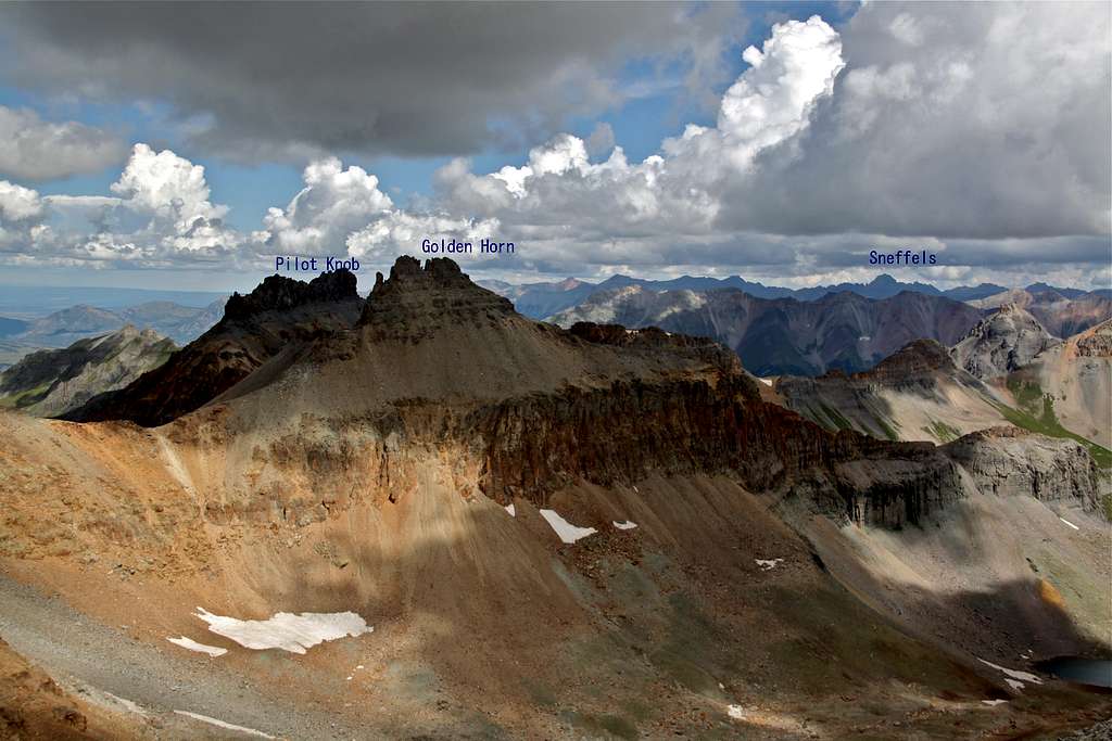
Fuller Peak Summit view

Annotated photo from the summit of Fuller Peak - By Liba

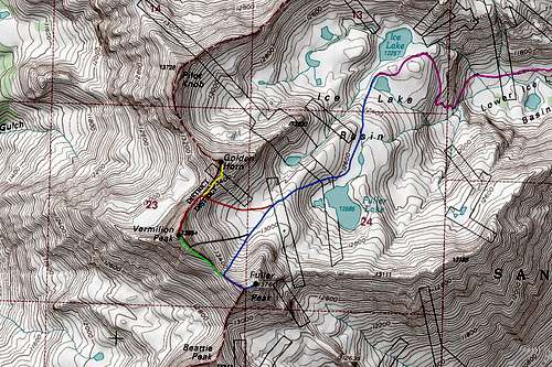
Map

Fuller/Vermilion Peak Map 

PURPLE: Ice Lakes Trail - Class 1

BLUE: Upper Ice Lakes Approach and Fuller Peak west ridge - Class 2

GREEN: Vermilion Peak SE ridge - Class 2+

ORANGE: Vermilion Peak NE ridge - Class 2+

YELLOW: Golden Horn SW ridge - Class 3

GREY: Vermilion Dollar Couloir - Class 2+ and Steep Snow

External Links

undefined View from Upper Ice Lake

Gerry Roach's Colorado 13ers guide covers Fuller Peak as well as Vermilion Peak in good detail.

Weather Forecast 

Great Trip Report

Good Ice Lakes Basin Trip Report

More Ice Lakes Basin Info

Silverton Chamber of Commerce

Town of Silverton

South Mineral Campground 

San Juan National Forest Campgrounds


Children

Children

Children refers to the set of objects that logically fall under a given object. For example, the Aconcagua mountain page is a child of the 'Aconcagua Group' and the 'Seven Summits.' The Aconcagua mountain itself has many routes, photos, and trip reports as children.

Parents 

Parents

Parents refers to a larger category under which an object falls. For example, theAconcagua mountain page has the 'Aconcagua Group' and the 'Seven Summits' asparents and is a parent itself to many routes, photos, and Trip Reports.

San Juan RangeMountains & Rocks
 
Colorado 13ersMountains & Rocks
 
San Juan Range Highest 50Mountains & Rocks