|
|
Mountain/Rock |
|---|---|
|
|
35.99080°N / 111.95871°W |
|
|
Mountaineering, Scrambling |
|
|
Spring, Summer, Fall, Winter |
|
|
7344 ft / 2238 m |
|
|
Overview
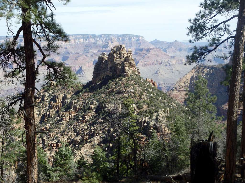
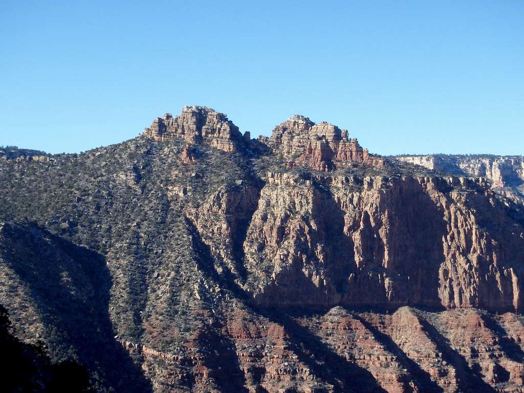
Sinking Ship is a striking collection of sandstone buttes and spires just off the South Rim of the Grand Canyon. With one of the shorter approaches of any summit in the canyon, it sees its fair share of ascents (at least by Grand Canyon standards) and can be climbed year round. Despite the short approach, route finding is challenging and involves a tough and loose class 4 gully, not recommended for inexperienced scramblers, with many opting for a roped belay. But the complexities of the route make that summit all the better, with outstanding views across to Vishnu Temple and Wotans Throne, nearby Coronado Butte and Brahma Temple in the distance.

Getting There
Enter the South Rim via either Tusayan or Cameron. Once in the park, Sinking Ship can be approached from two areas on the South Rim- the Buggein Picnic Area, or the high point of the road 0.5 miles west of the picnic area.
Route
Approach: If parked at the high point along the road, head directly into the forest heading for the rim (a GPS may be helpful for the return). Sinking Ship should come into view as you near the rim, which you can follow until reaching the connecting ridgeline. Drop down the loose ridgeline to the saddle between the peak and the rim. If approaching from the picnic area, a forested gully must be traversed before aiming for the saddle more directly. While this decreases the ascent on the return, traversing through the gully may not be worth it.

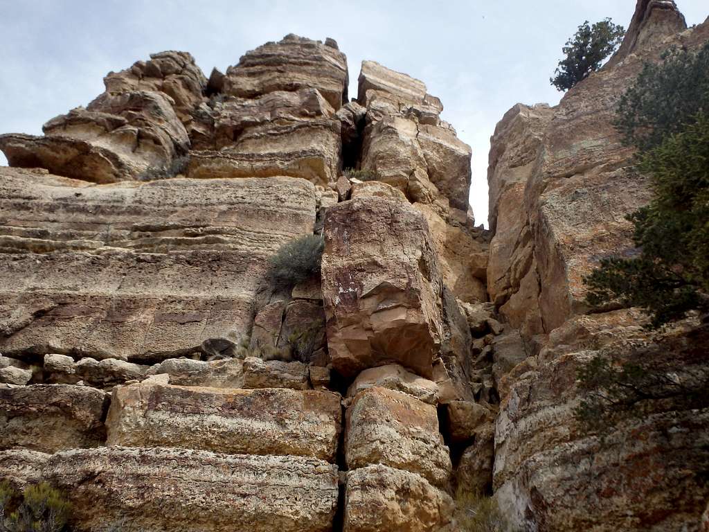
Route: From the saddle, Sinking Ship is directly ahead. Skirt the formation to the left (southwest) side and begin ascending class 3 ledges when possible. Avoid getting too high too early, traversing north when possible. The ultimate aim is a class 4 gully on the west side, just past the first large false summit with a tree on the top.

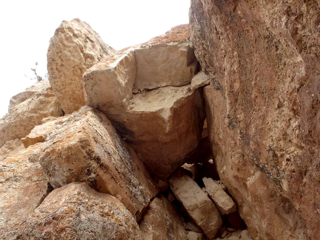
Traverse into this gully and scramble up to the crux- a class 4 chokestone (you can spot it in the shot above) with some of the loosest canyon choss just above. A featured face to the left of the chokestone offers good holds, disappearing when you climb onto the loose scree. It may be advisable to climb this section one person at a time or wear helmets. Climb back to solid rock at a notch on the ridgeline. A few wildly exposed class 3 moves across some ledges to the right lead to a narrow rib just below the summit. Scramble along the rib until reaching a narrow passage formed by some leaning boulders. Some tight packs-off stemming will get you into a bay behind the rocks.

From there, you can either do an exposed class 4 mantle out to the right, or easier class 3 stemming in a hidden chimney back and to the left to bring you to the final easy slabs to scramble to the summit.
Red Tape
Admission to GCNP is $30 for 7 days. I highly recommend the "America the Beautiful" Pass for $80, which covers the entrance fees for all federally managed parks and land for one year. No additional permits are needed unless you're planning on incorporating this into a backcountry trip, however the nearest water source is the Colorado River.
When to Climb
As with most hiking in Arizona, Fall and Spring are the best. Summer can be brutally hot, although the entire hike is above 6500'. No water sources. Winter can bring serious ice on the descent to the saddle, which is entirely in shade on the north facing wall of the rim. Some of the gullies heading up towards the summit also could probably hold a good deal of snow and ice even when the rest of the route is clear, so be prepared if attempting the summit in the colder months.
Camping
There are two developed campgrounds on the South Rim: Mather (which takes reservations) and Desert View. Desert View is the closest, although it is only operational over the summer. There is plenty of places for camping at large in the National Forest just outside the park
External Links
Trip Report: The Mountains Are Calling


