|
|
Trip Report |
|---|---|
|
|
31.89134°N / 104.86046°W |
|
|
Feb 25, 2018 |
With an elevation of 8749 ft (2667 m), Guadalupe Peak is the highest mountain in Texas. It sits in Guadalupe Mountains National Park and has a well-established trail that makes it a fairly popular hiking destination. Devils Hall is a rocky narrows in Pine Spring Canyon at the base of Guadalupe Peak. A hike to the summit of Guadalupe Peak can be combined with a visit to Devils Hall to create an 11.2 miles (18 Km) hike.
The Blue line shows my path. Open in Caltopo and click on blue line to see hike profile
Trip Report
Trailhead Elevation: 5830 ft
Summit of Guadalupe Peak: 8749 ft
One way trailhead to Guadalupe summit: 4.3 miles
This hike: 11.2 miles
Left the vacation rental house in Carlsbad, New Mexico at 5:30 a.m. when it was still dark heading southwest on Routes 180/62. As I got close to the Texas/New Mexico border, it began to light up and Guadalupe Mountains came to view rising abruptly above the barren plains.
Went to Pine Spring Campground in the park and began my hike at 6:30 a.m. while the sun was rising over the eastern plains. I was the first person on the trail and did not see any other hikers on my way up the mountain. It was 45 degrees F but a relatively strong wind was blowing making it feel cold. The trail made a lot of twists and turns going up a slope. As I went up under the direct sunshine, I began to feel warmer.
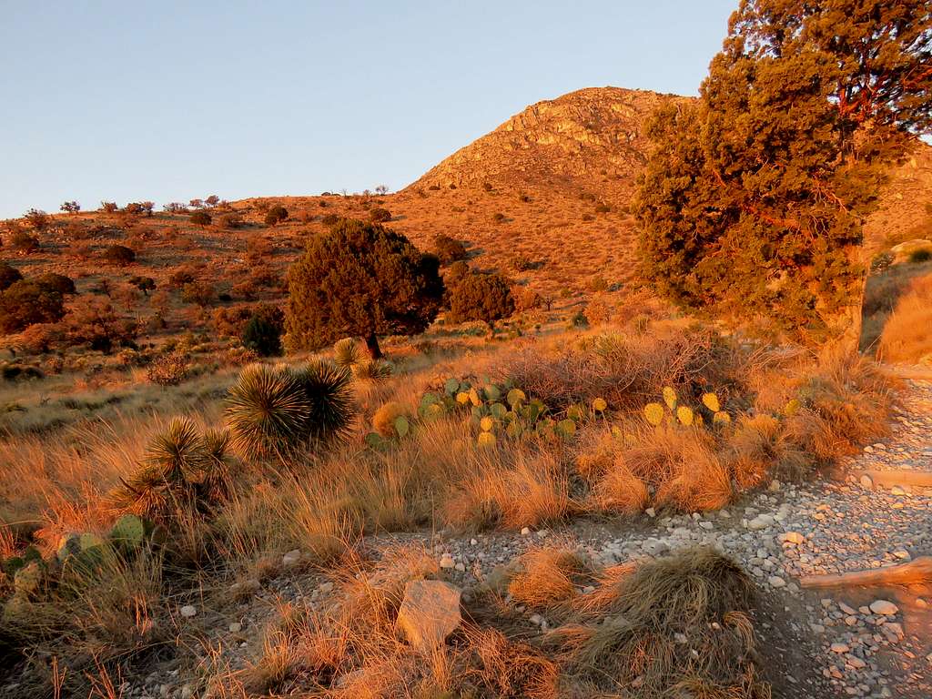
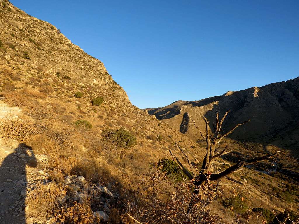
We had flown to Roswell, New Mexico the day before this hike. Our airline had failed to bring our luggage saying they would deliver it to us in Carlsbad 24 hours after our arrival (while I was doing this hike). This had forced me to purchase a whole new set of hiking equipment. The boots actually turned out to be pretty good (On our return trip to Wisconsin, we were forced to mail the new equipment to avoid the extra weight charge by the airline, welcome to air travel in 2018!).
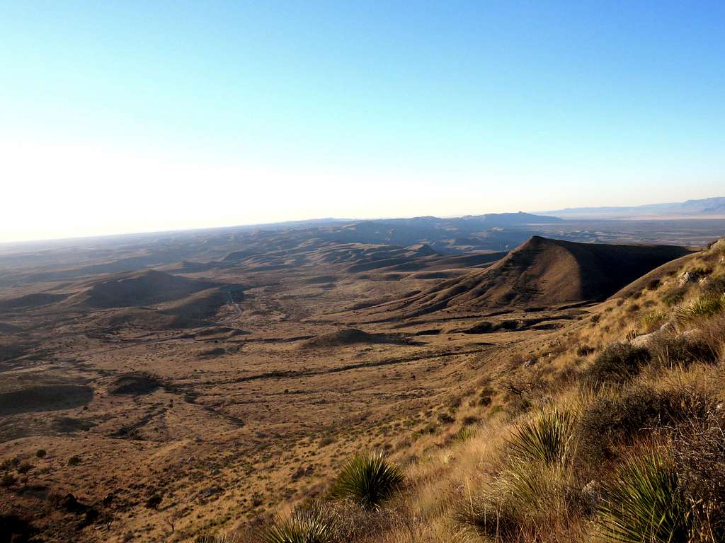
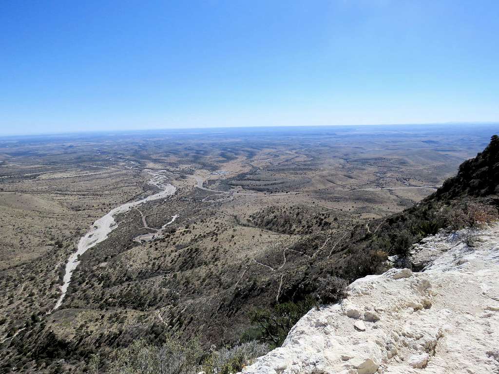
As I went higher, the plains of Texas came to good view to the south and east.
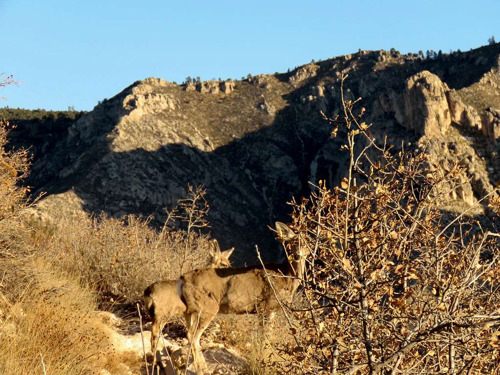
The slopes were covered by a dense growth of bushes but the trail was well defined and easy to follow. Suddenly a small deer jumped out of the bush onto the trail. Its mother came running after it.
The summit of Guadalupe Peak was not visible but the 8368 ft Hunter Peak was in good view across the valley.
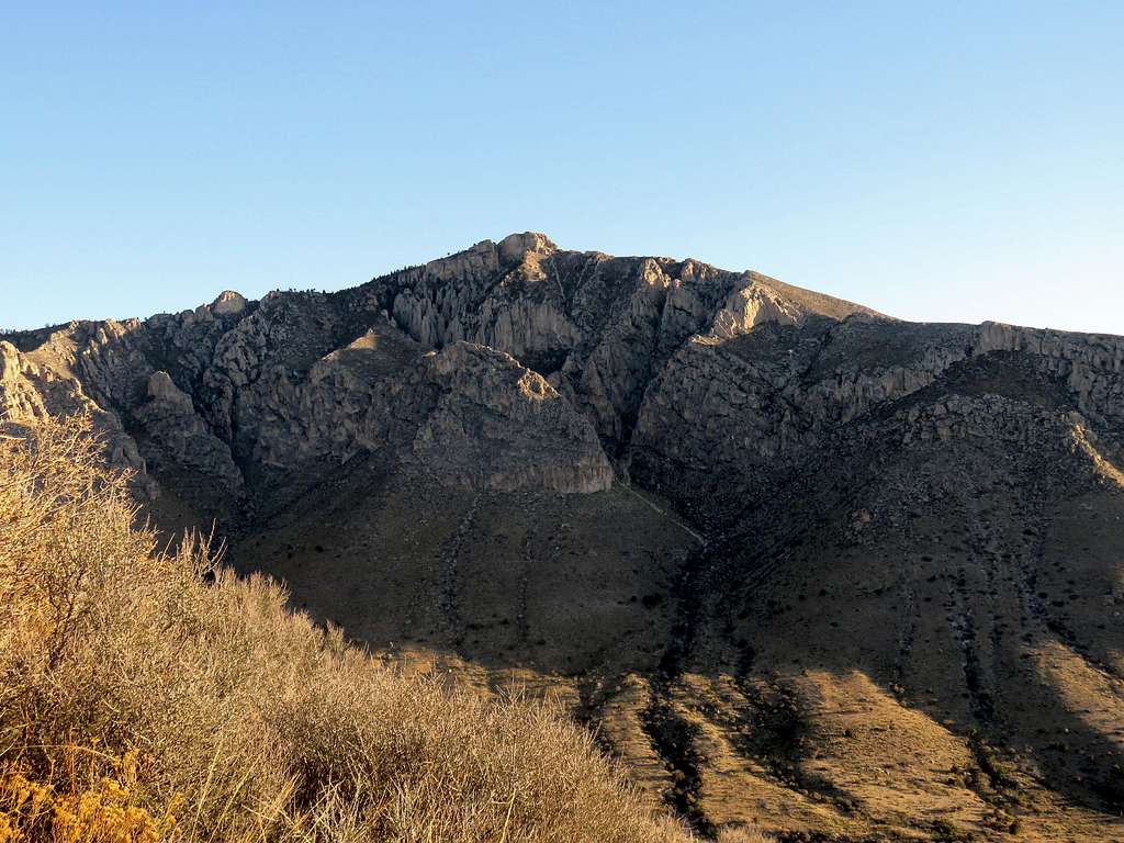
A rocky area on the trail.
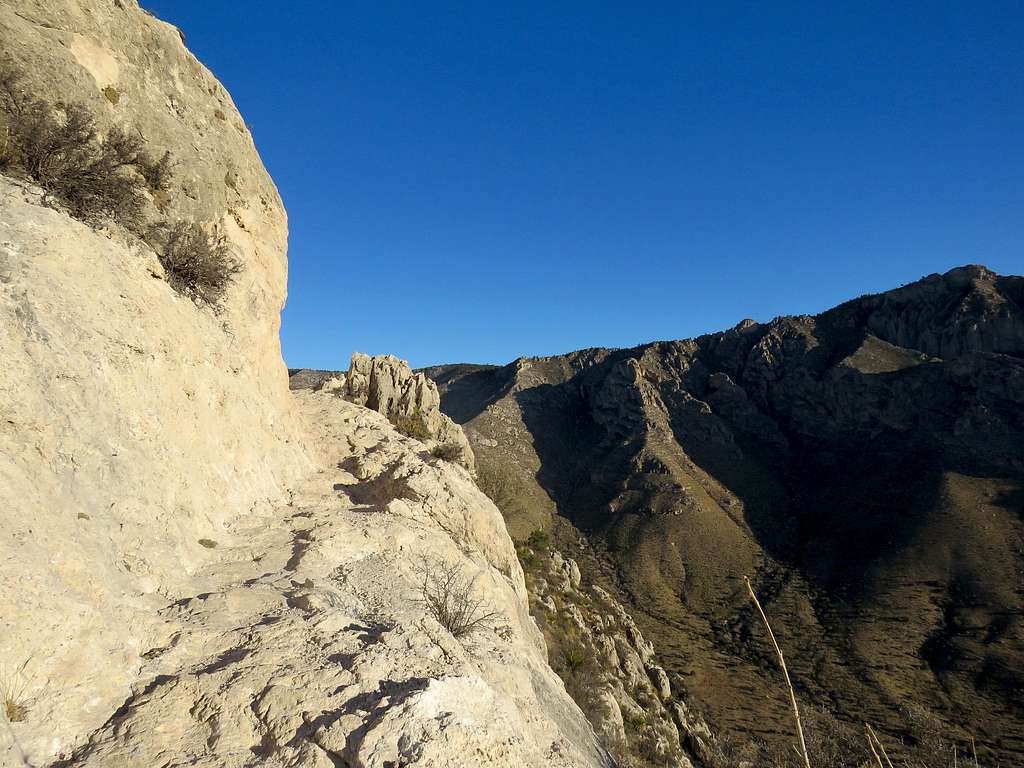
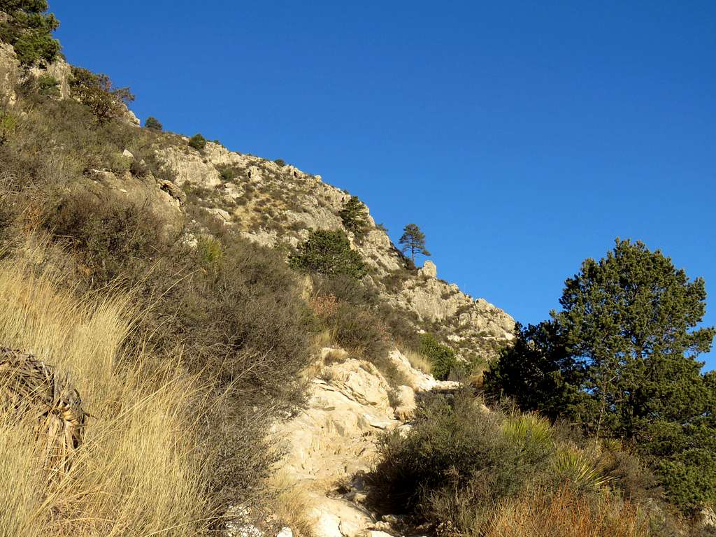
After 1.6 miles, at an elevation of 7100 ft, the trail went over a ridgeline and the summit of Guadalupe Peak appeared to the west. The wind became very strong and cold bothering me most of the way to the summit. I was glad I bought gloves yesterday.
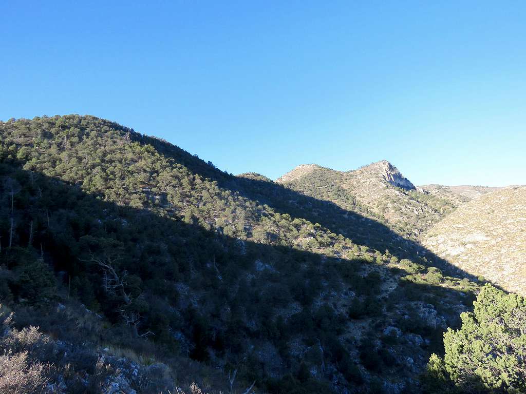
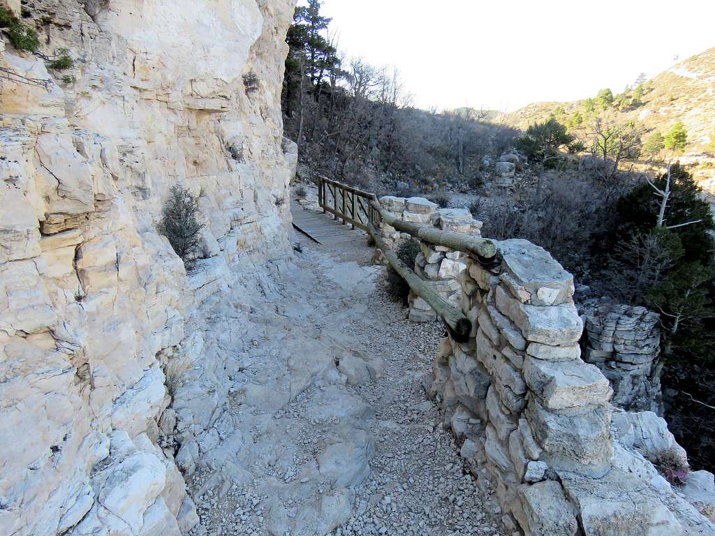
The slopes were now covered by juniper and pine trees. At times I was in the shade making me feel colder. In one place a bridge was constructed to make the trail traverse a cliff.
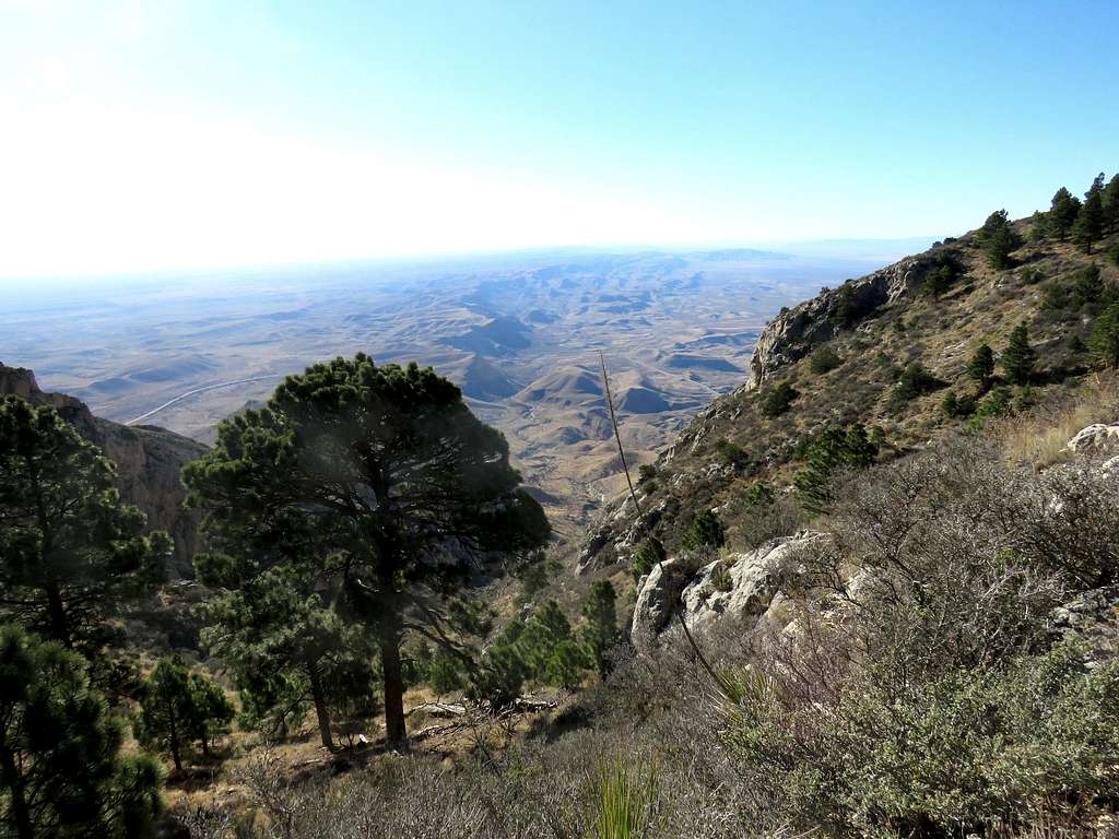
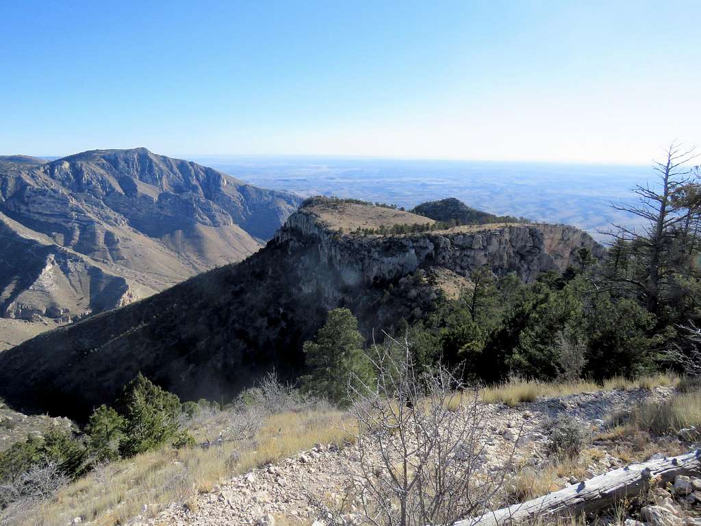
At 8100 ft, the trail reached the base of the summit of Guadalupe Peak and began to zigzag up. Looking south at the hills and plains of Texas and east at Hunter Peak.
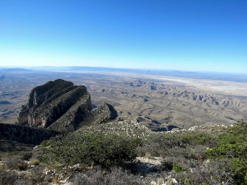
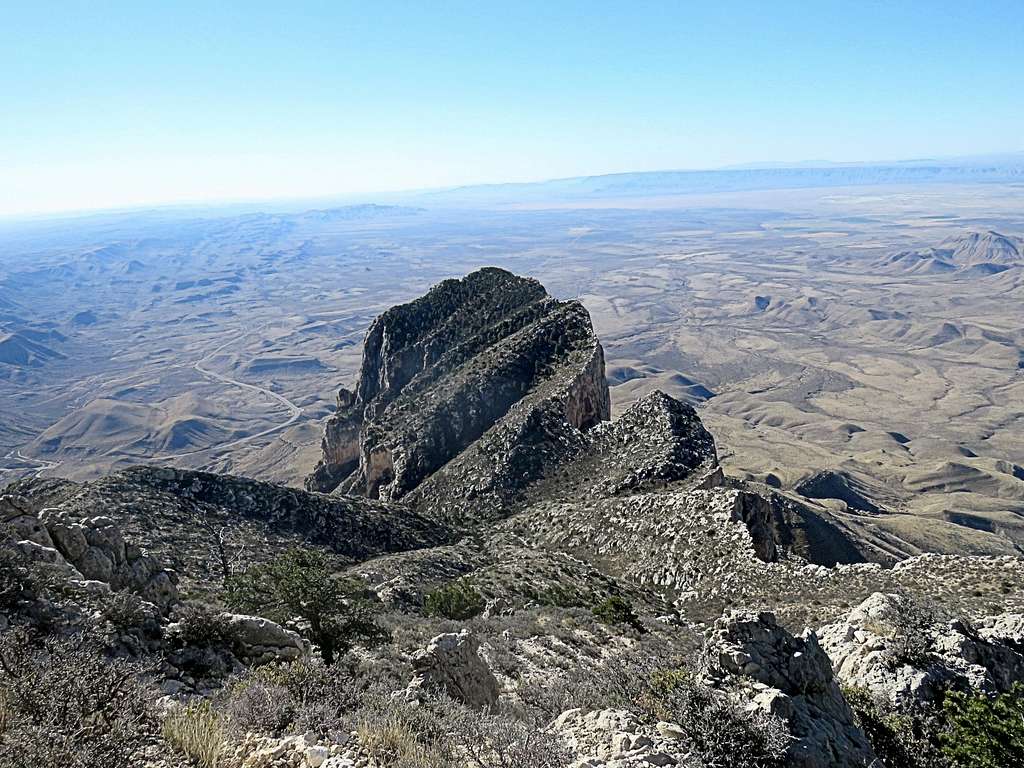
After a turn, the impressive El Capitan came to view to the south.
Reached the summit at 8:50 a.m. The wind was fierce. I went behind a juniper tree to protect myself from the wind. Put on my coat and had my sandwich. Took my watch, which has a thermometer, off of my wrist and secured it in a place so that it would not be blown away by the wind. It showed 27 degrees F (assuming a wind speed of 25-30 MPH, I later found out that the wind chill was around zero degrees F). A coworker had asked that I text her pictures. I took my gloves off to take a selfie. That made my fingers go painfully numb. Only two of my summit photos came out fine. The rest went blurred (numb fingers, fierce wind, cold as heck…).
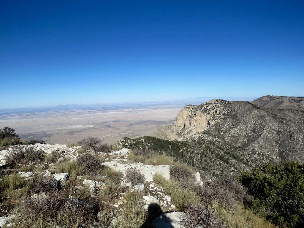
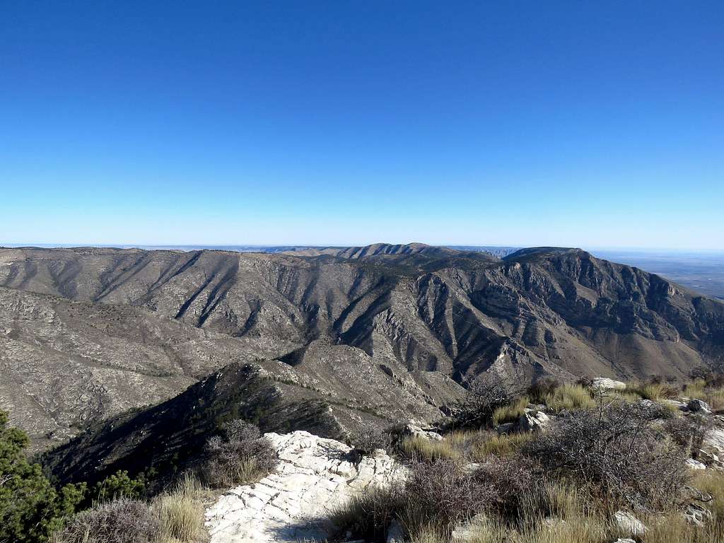
Left the summit at 9:20 a.m. and began to hike down. Another view of El Capitan and the Salt Basin.
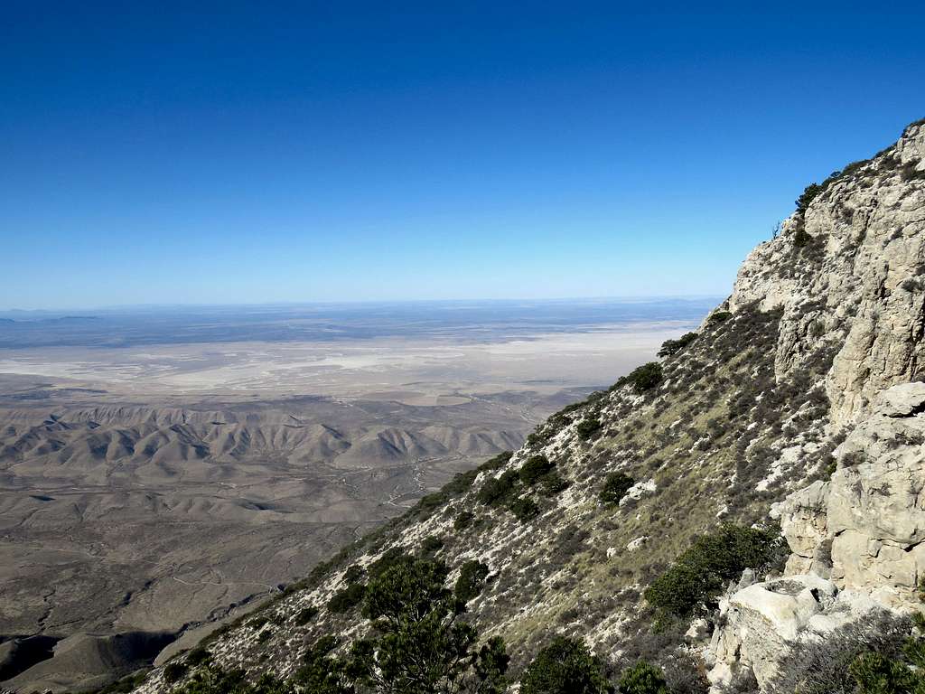
On my way down, I kept running into people. I actually counted 15 groups at various elevations.
Plains of Texas from the trail.
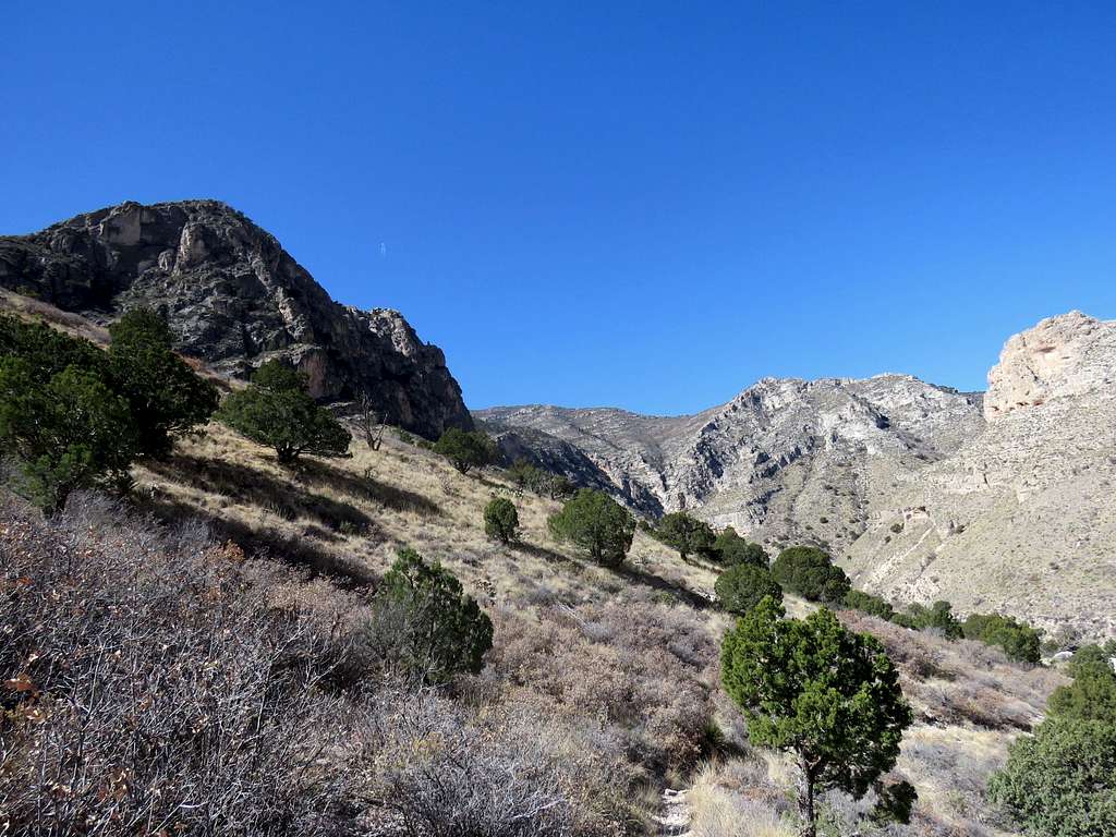
Once I was down to 6560 ft, I left the main trail going on a side trail that went north descending into Pine Spring Canyon.
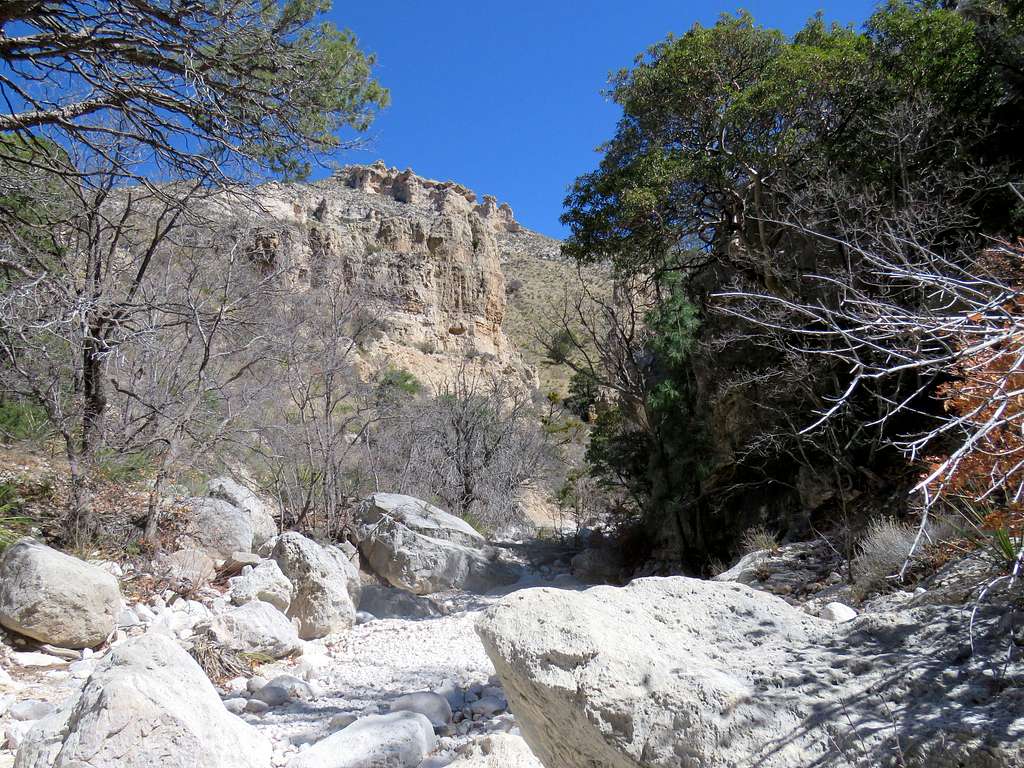
Once in the canyon, I was again running into people who were going to or coming from Devils Hall.
Slick-rock steps.
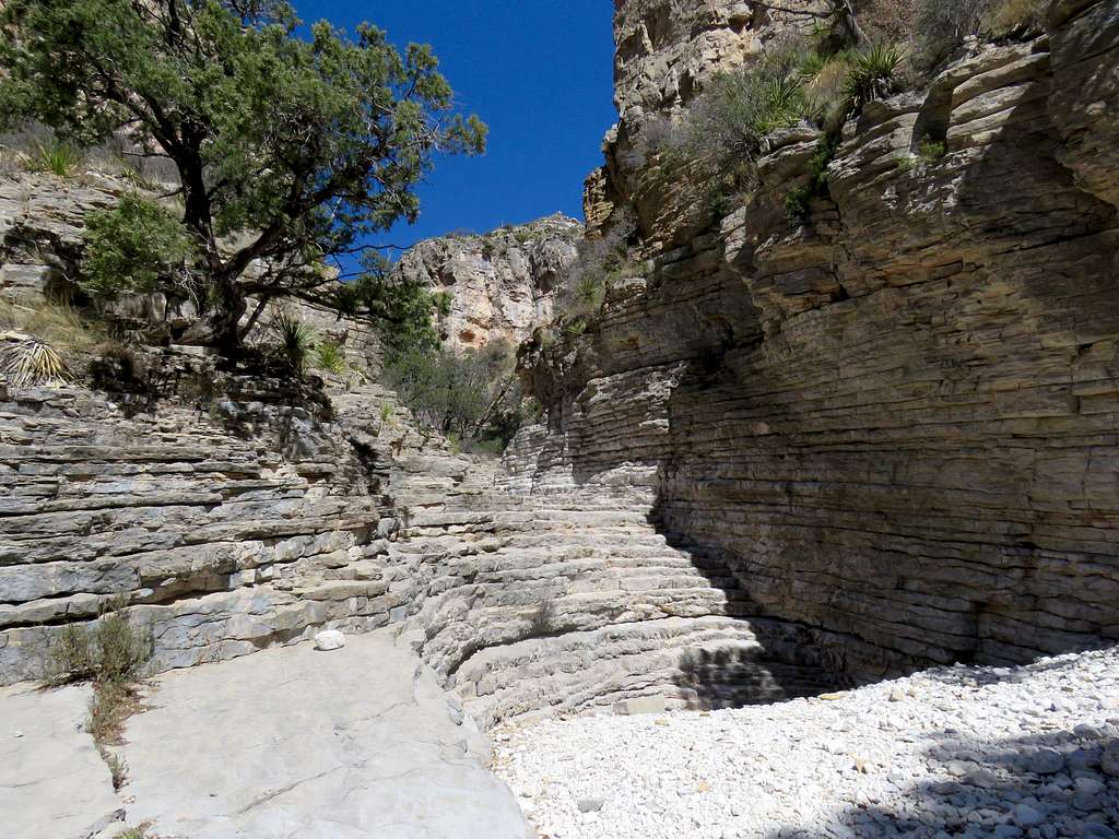
Reached Devils Hall at 11:30 a.m. One couple was there.
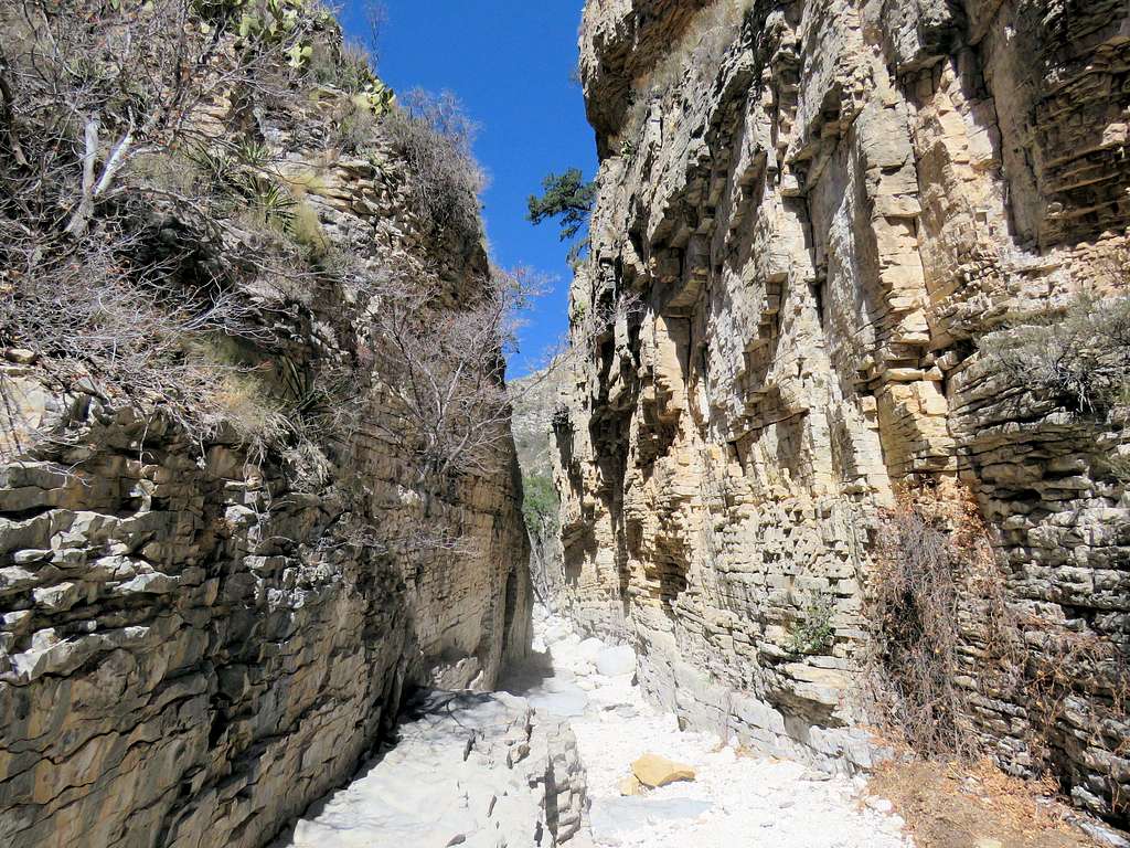
I then followed the trail at the bottom of the canyon back to the parking area. A good shot of Guadalupe Peak from near Devils Hall.
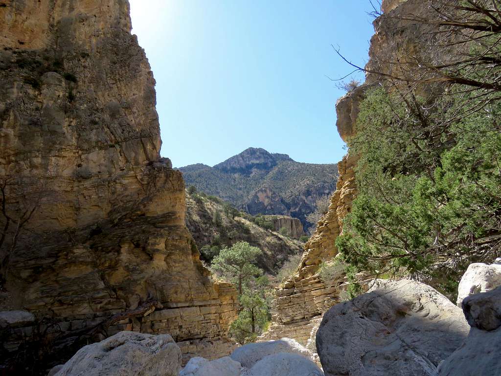
Reached the car at 12:30 p.m. It was sunny, windy and in mid 60s degrees F.

