
|
|
Mountain/Rock |
|---|---|
|
|
39.31475°N / 119.75346°W |
|
|
Washoe |
|
|
Hiking |
|
|
Spring, Fall, Winter |
|
|
6073 ft / 1851 m |
|
|
Overview
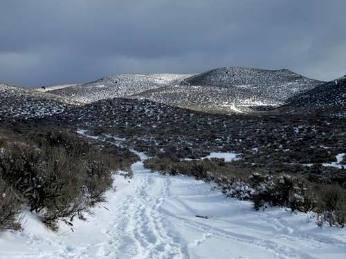 Cottontail Mountain - Christmas 2015
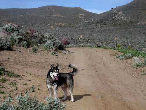 Cottontail Mountain April 2016
Cottontail Mountain or Point 6073 is a lesser known summit rising east of Washoe Lake south of Reno, Nevada and north of Carson City, Nevada. It is easily accessible and has dirt roads leading up to its summit.
The reason for the name “Cottontail Mountain”, which is unofficial, is because Cottontail Lane leads all the way up to the base of the mountain. It isn't an official peak, because it's estimated prominence is only 267'.
Once on the summit, Cottontail Mountain provides excellent views of the Washoe Valley, of the Virginia Range to the east, and to the Sierras to the west which rise east above Lake Tahoe.
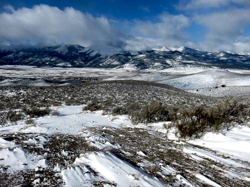 View of the Sierras - Christmas 2015
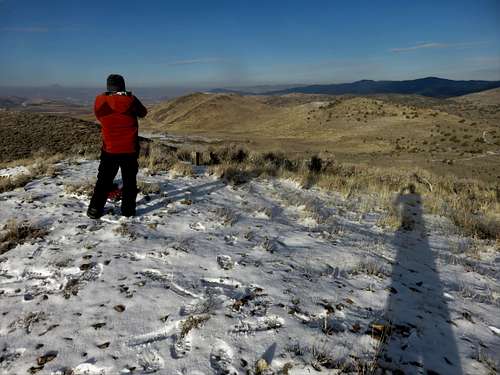 Summit view north 12/22/2016
Cottontail Mountain is an easy hike or trail run. It is ideal for a quick outing.
Cottontail Mountain and the hills in the Washoe Lake area can get snow in winter, but it is rare on the west facing slope. Hiking in winter is the ideal time, but spring is also a good time. Just avoid hiking after wet weather to avoid the mud.
Getting There
The primary access point to Cottontail Mountain is Cottontail Lane. However, there are two other nearby access points to start from that will also lead to the base of the mountain.
Regardless of which one you start at, to get to these starting points from Reno take 395 South towards the north entrance to East Lake Blvd. This is not the main highway, but the old highway route that goes through Pleasant Valley.
Once on East Lake Blvd there are four options:
-Option 1 is 2.3 miles down East Lake Blvd. Turn left on Cottontail Lane and drive to the end where it turns to dirt.
-Option 2 is two miles down East Lake Blvd. Turn left on Guffrey Drive and drive to the end where it turns to dirt.
-Option 3 is one mile down East Lake Blvd. Turn left on Skinner Drive, then right on Dunbar, then left on Brenda Way to the end.
-Option 4 is three miles down East Lake Blvd. Turn left on McClellan Drive. Drive to the end where it circles around a church. The trail is unmarked, but obvious on the left hand side of the road.
Route
From Cottontail Lane, take it as it becomes dirt for one mile. At this point it ends and you reach a road that rings around Cottontail Mountain. However, what appears to be a continuation of Cottontail Lane is a lesser dirt road heading straight up the slope. Take this road for a half mile as it climbs over 350’ up to the ridgetop. From here, the summit is less than 200 yards away.
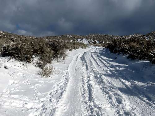 Cottontail Lane on Christmas Day 2015
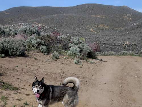 Cottontail Mountain in full view. April 2016
From Guffrey Ave, take the dirt road, and then the first right onto lesser roads going uphill. Once you reach a larger road after about 1.1 miles, continue another 0.2 miles to the lesser dirt road mentioned above heading up the slope.
From Brenda Way take the road as it descends and curves to the right. The road then heads back left and continues for 0.8 miles. Take a steep road up a hillside, go up and over the hill, and in about 0.3 miles you will reach the lesser dirt road.
From McClellan Drive, head up the trail for about 2/3rds of a mile. Then take a left up a hill and take this road as it loops around to the back side (east side) of Cottontail Mountain reaching a road up the back side in another 2/3rds of a mile. The summit is about 1/2 mile away.
The route from Cottontail Lane is about 1.6 miles to the summit gaining roughly 885’. The route from Guffrey Ave is about 1.9 miles to the summit gaining roughly 1,050’. The route from Brenda Way is about 1.95 miles to the summit gaining roughly 940’. The route from McClellan Drive is about 1.85 miles to the summit gaining roughly 875'.
Red Tape
The access roads are all on federal lands. No permits or restrictions apply for a day hike of this peak.