
|
|
Mountain/Rock |
|---|---|
|
|
35.34282°N / 111.44812°W |
|
|
Download GPX » View Route on Map |
|
|
Hiking |
|
|
Spring, Summer, Fall, Winter |
|
|
8004 ft / 2440 m |
|
|
OHV Area
This area is popular with Off Highway Vehicle enthusiasts. I did my hike on a Thursday in early September when I was lucky enough to not encounter any vehicles or even people. With the presence of OHV, it can become dusty, noisy and potentially dangerous to the hiker.
Double Crater
Double Crater Elevation: 8004 ft
Rank: Arizona’s 260th highest ranked peak
Prominence: 944 ft
Double Crater is a cinder hill rising in San Francisco Volcanic Field to the northeast of Flagstaff, Arizona. Its summit houses two adjacent craters each roughly 1250 ft in diameter. Double Crater can be potentially climbed from any direction. Except for steep gravel slopes, it does not present any other obstacles. No trail goes to its summit but beaten OHV tracks can be followed all the way to the very top.
Peak 7842 ft
Peak 7842 ft
Rank: Arizona’s 315th highest ranked peak
Prominence: 452 ft
Peak 7842 ft is one of many cinder hills in San Francisco Volcanic Field. It sits directly to the west of Double Crater and is separated from it via a 7390 ft high saddle. It can be easily climbed along with Double Crater.
Getting There
From the intersection of I-40 and Route 89 in Flagstaff, Arizona, I drove 12 miles north on Route 89 and turned east onto the signed road for Sunset Crater Volcano National Monument (entering the monument requires payment at the gate). Drove the road east going through and exiting the eastern end of the Monument. After 6 miles, at an unsigned intersection, I reached a dirt road that maps identified as Forest Road 776. The road was gated and closed. I parked at that spot as shown on the map above.
Route
This is a description of the path that I took. I found OHV tracks, pretty much everywhere I went.
Hiking Distance: 7.02 miles
Total Ascent: 1960 ft.
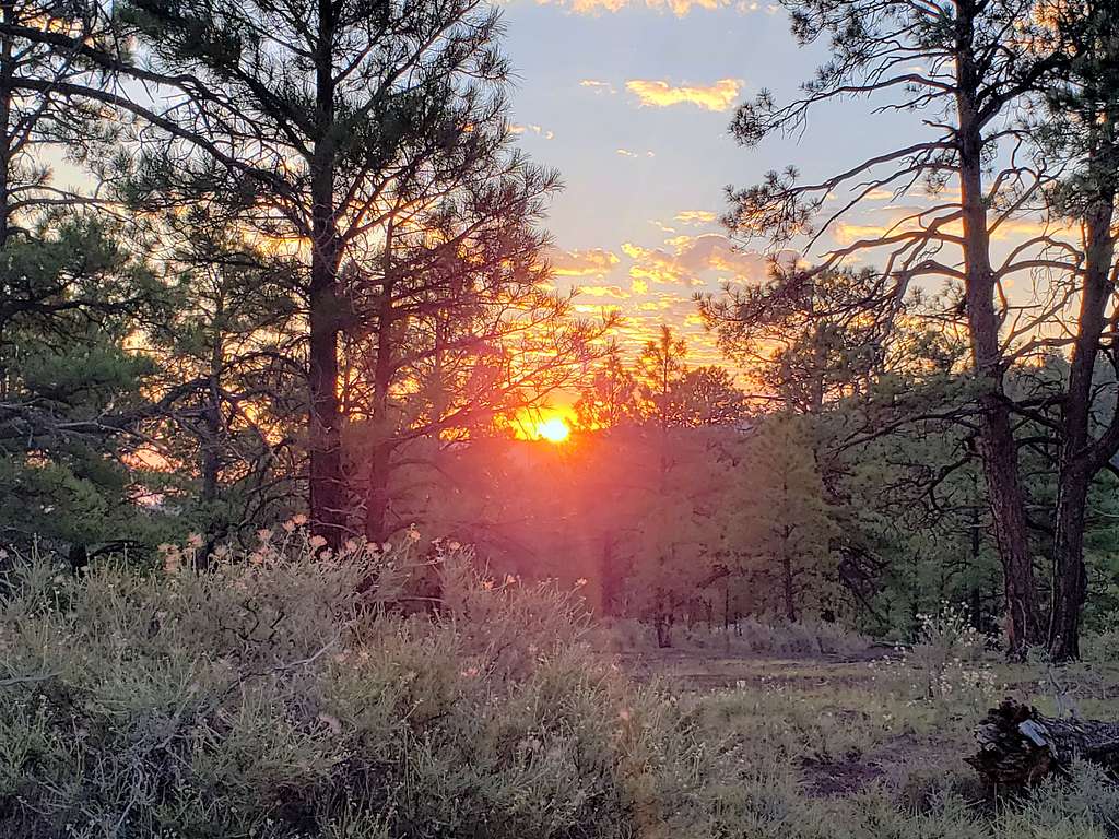
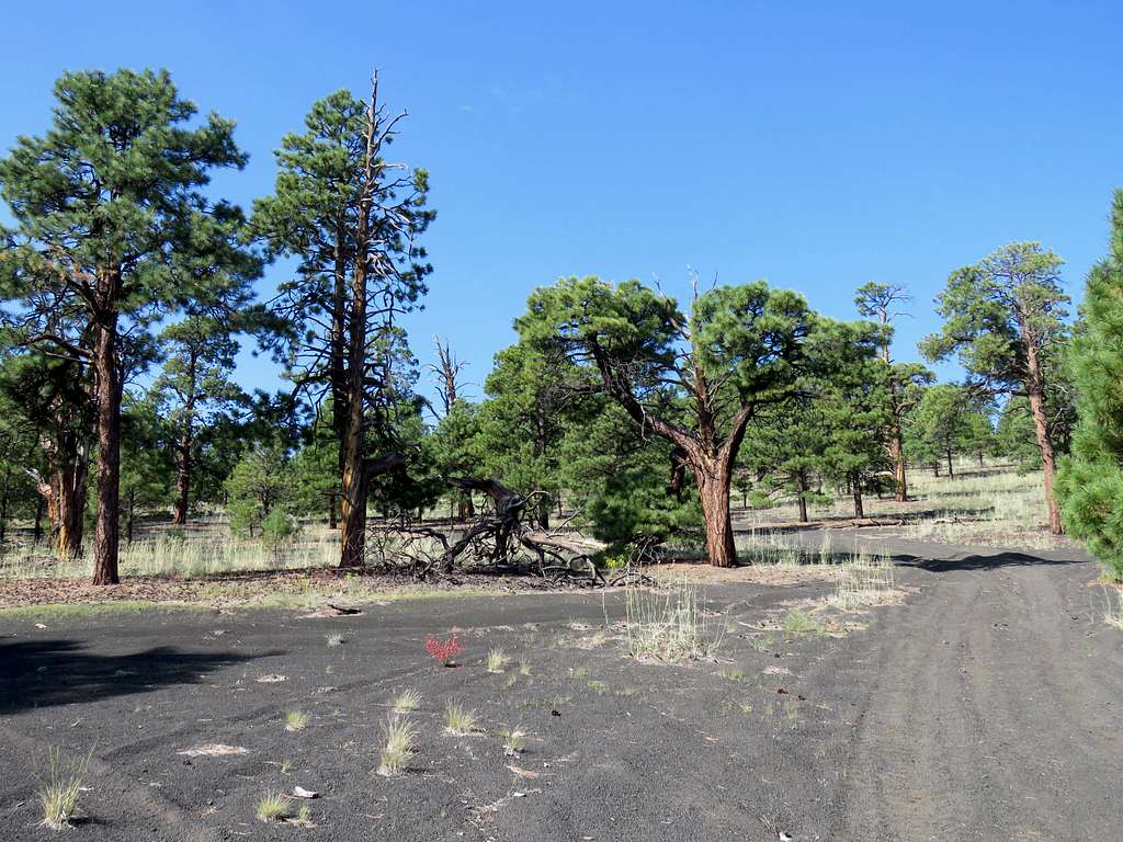
Started the hike at 6:10 a.m. Sunrise near the start of the hike.
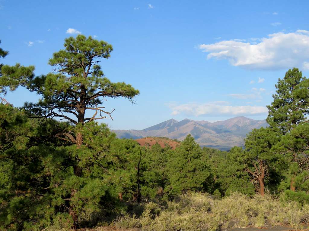
Sunset Crater from near the start of the hike.

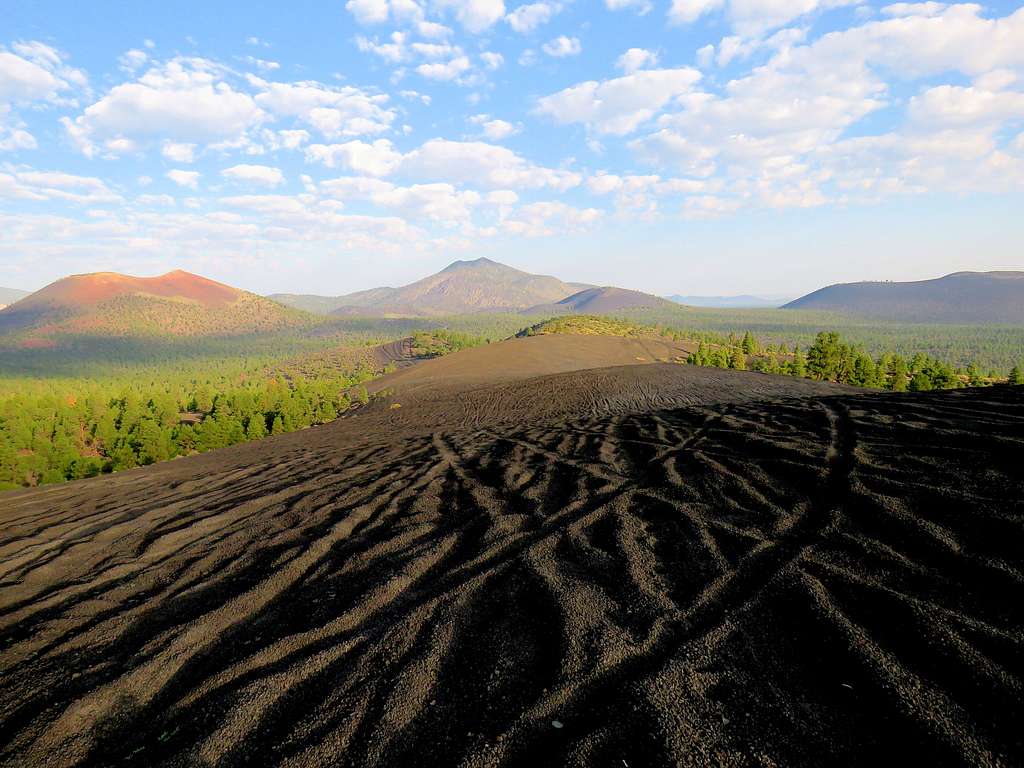
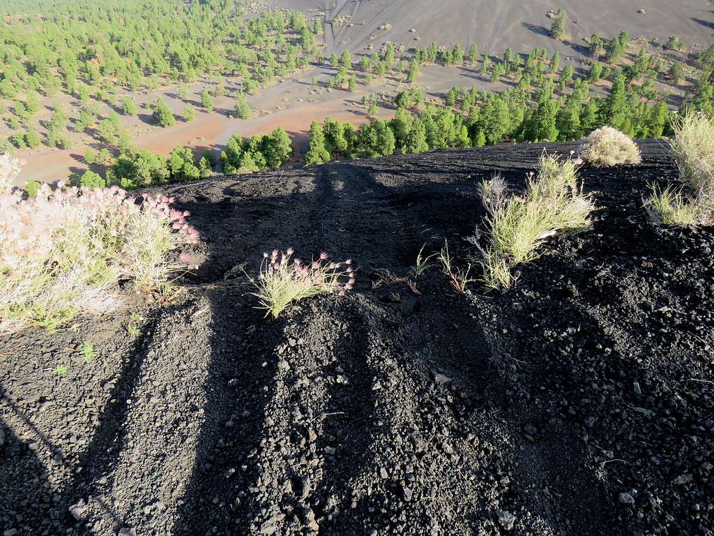
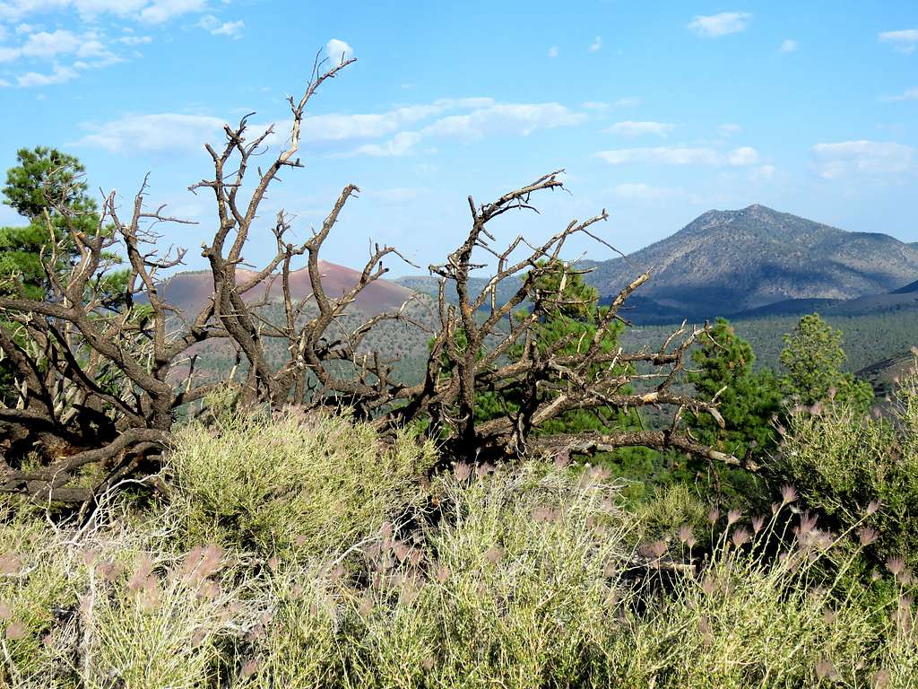
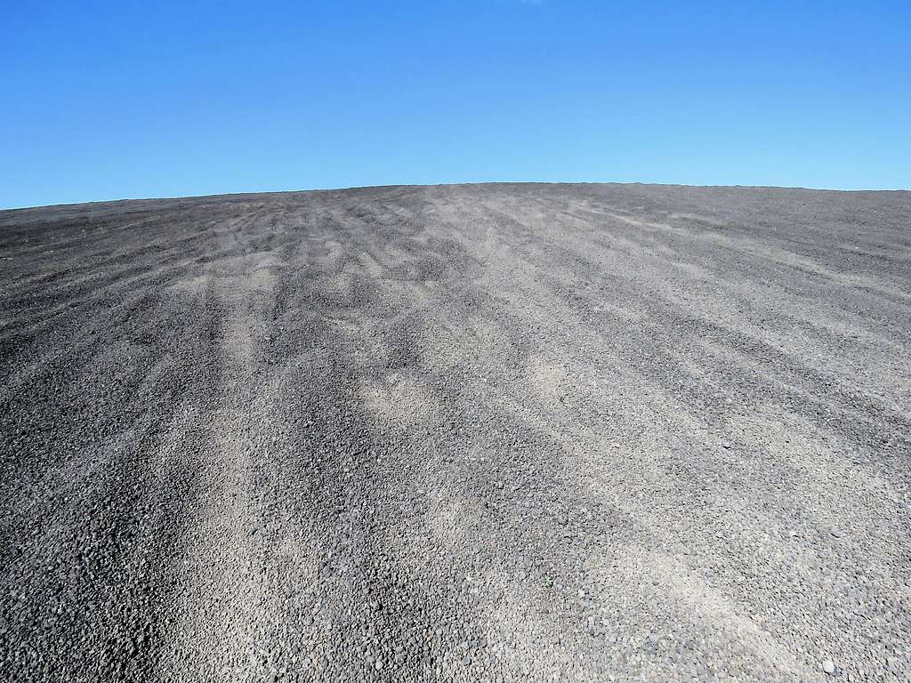
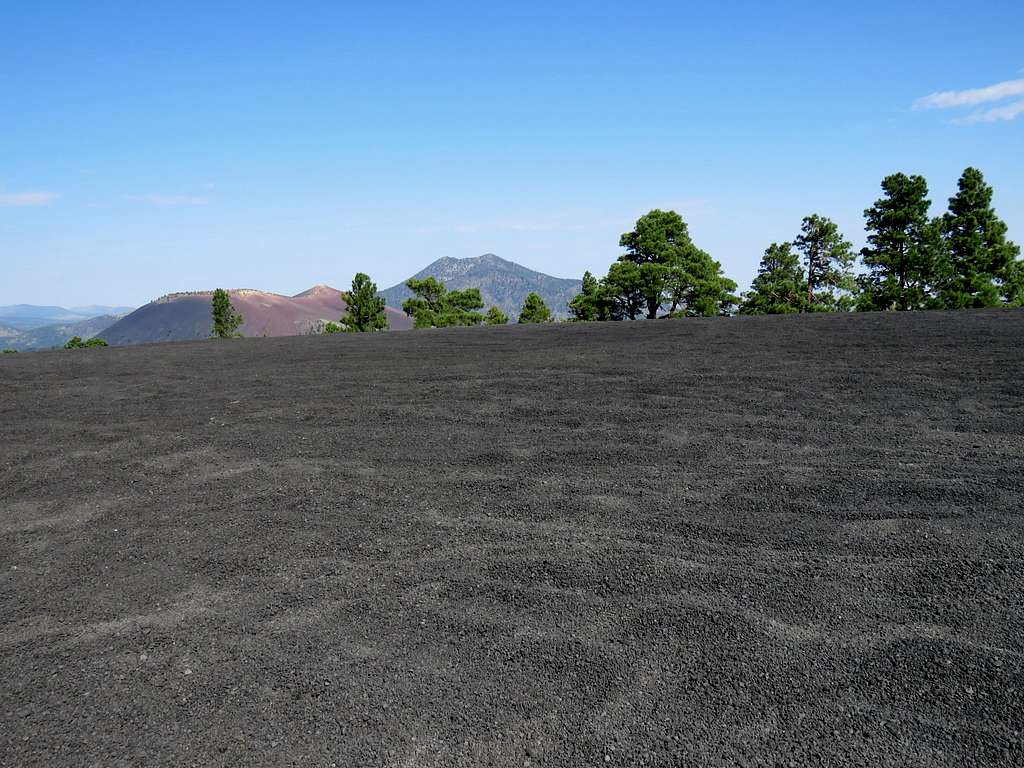
Followed Forest Road 776 around 1000 feet to reach a fairly steep black gravel slope with tire tracks all over it. Went up the slope and the followed it in a southeasterly direction for the next 1.5 miles toward Double Crater. View from the black gravel pathway.
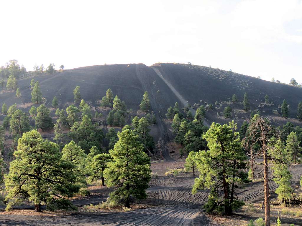
I then reached the base of a very steep gravel slope where tire tracks went directly up the slope.
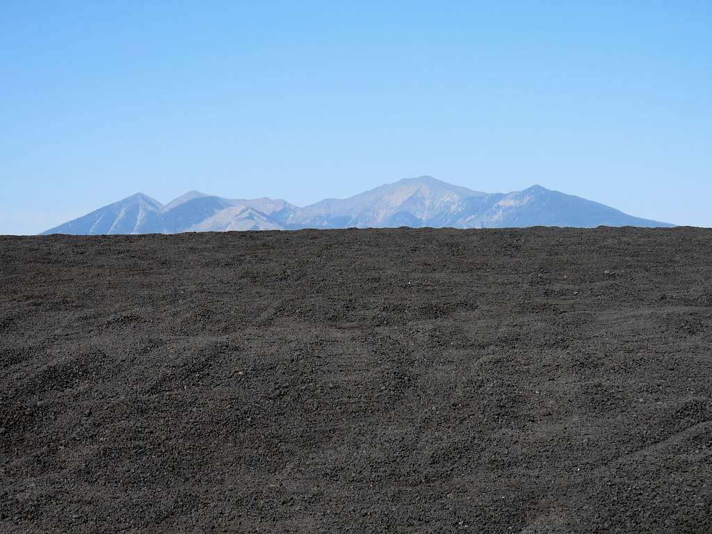
View of O’Leary and Humphreys Peaks from the base of the slope.
Huffed and puffed up the slippery gravel slope gaining 350 vertical feet in a short distance until I was on top of the slope. Looking back down the slope.
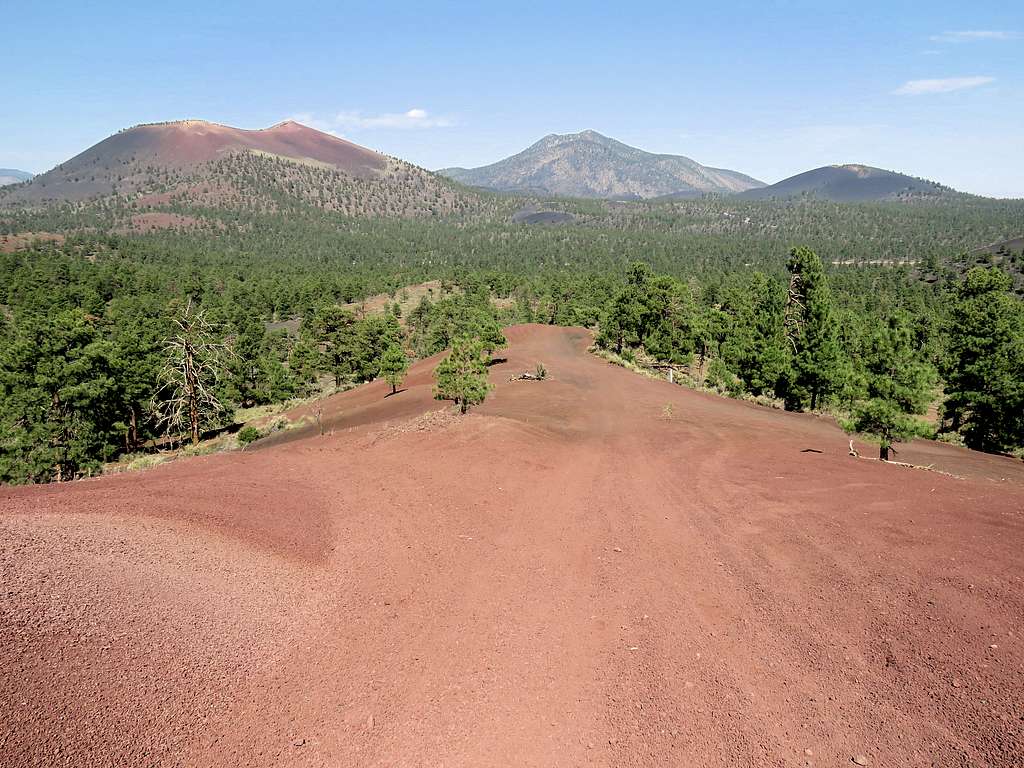
I was at that point on the north rim of the north crater at an elevation of 7675 ft. Summit was still 330 ft higher.
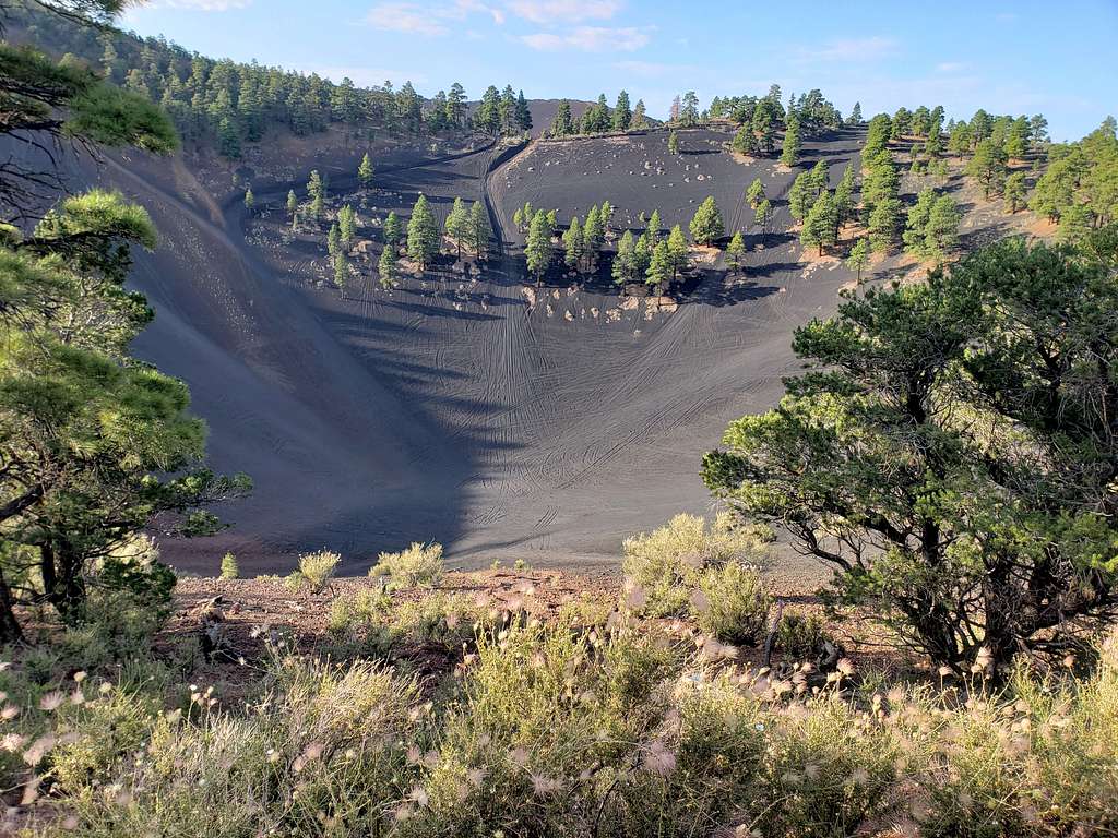
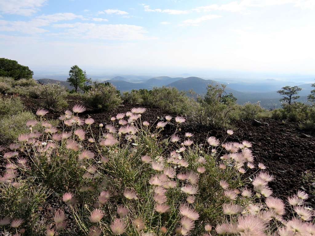
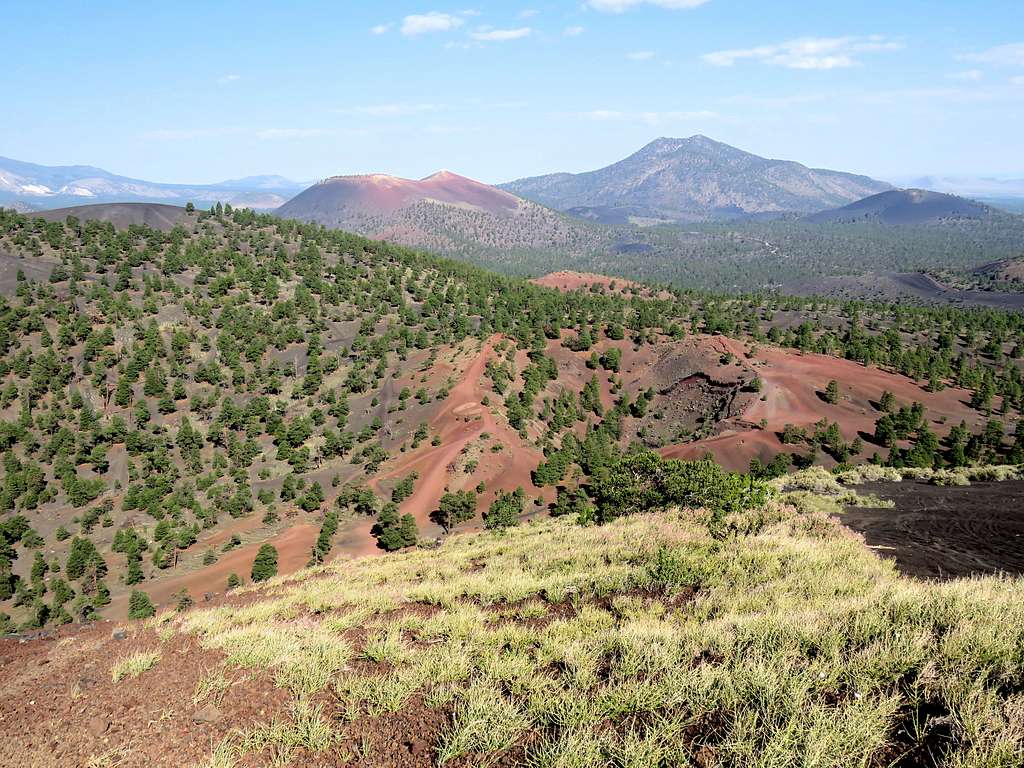
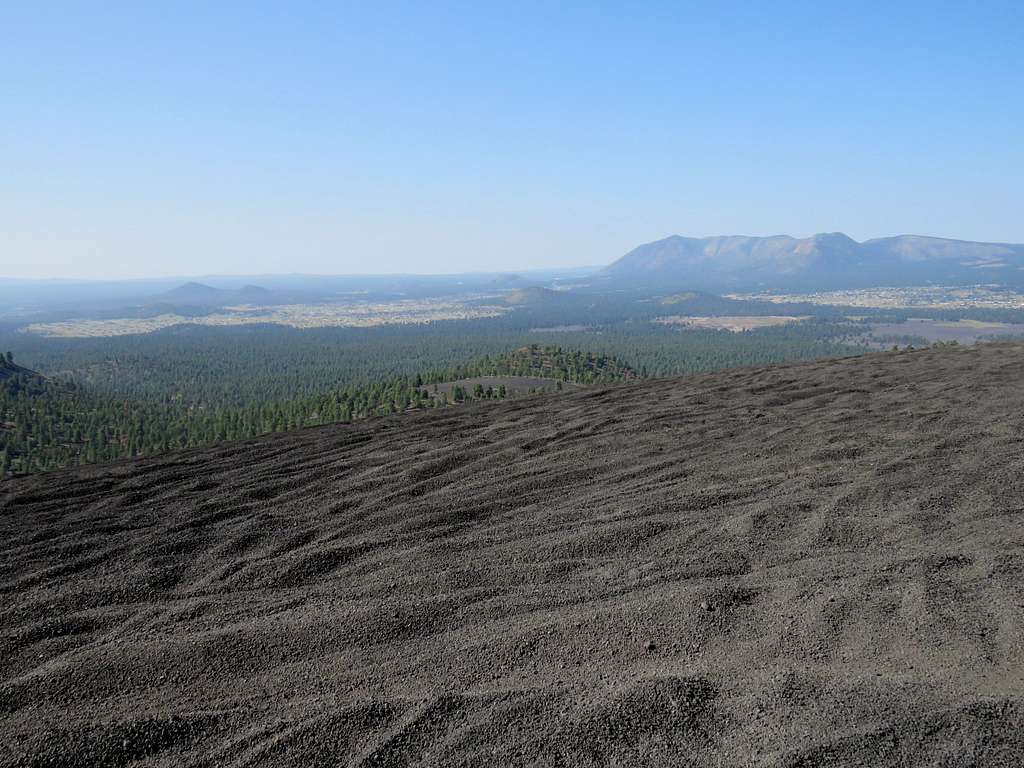
Headed east and then south following the tire tracks toward the summit. More views from the rim of the north crater.
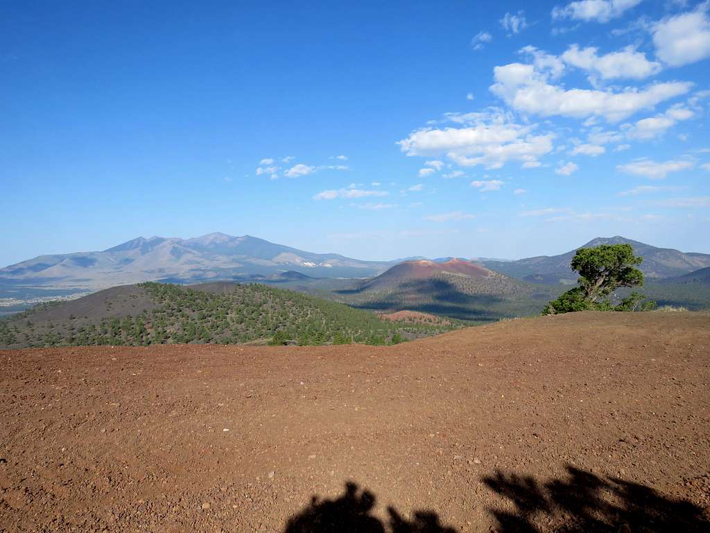
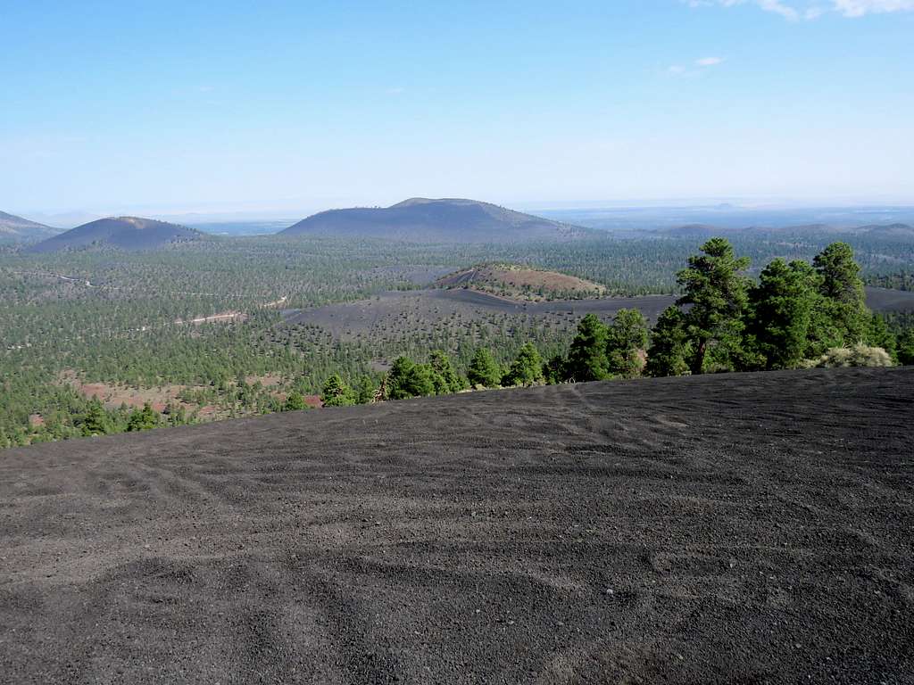
After 2.8 miles of hiking, at 8:05 a.m., I reached a high point between the two craters. The actual summit was a nondescript point just a little further south only 10 vertical feet taller. I sat there to eat and enjoy the views. North Crater plus O’Leary Peak and Sunset Crater.
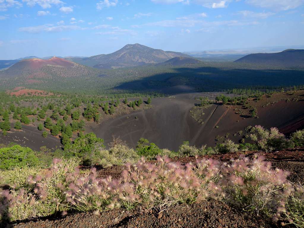
Looking north.
Looking east at other volcanic hills.
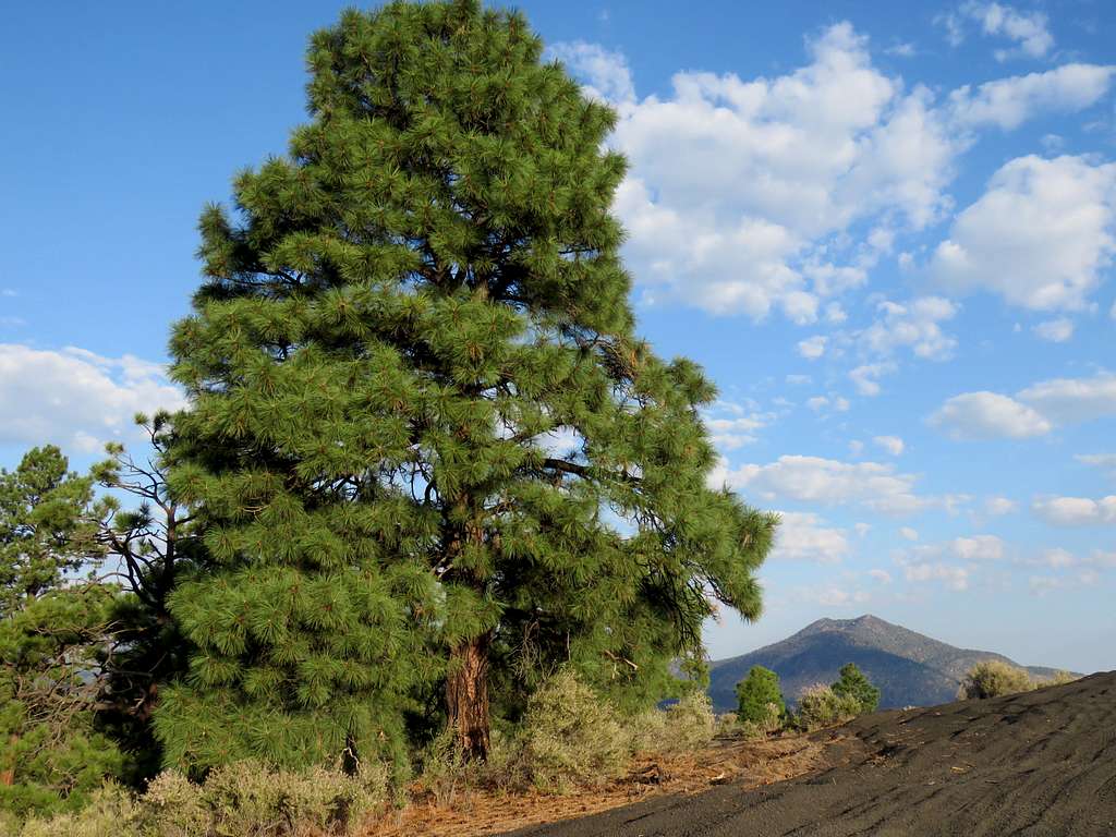
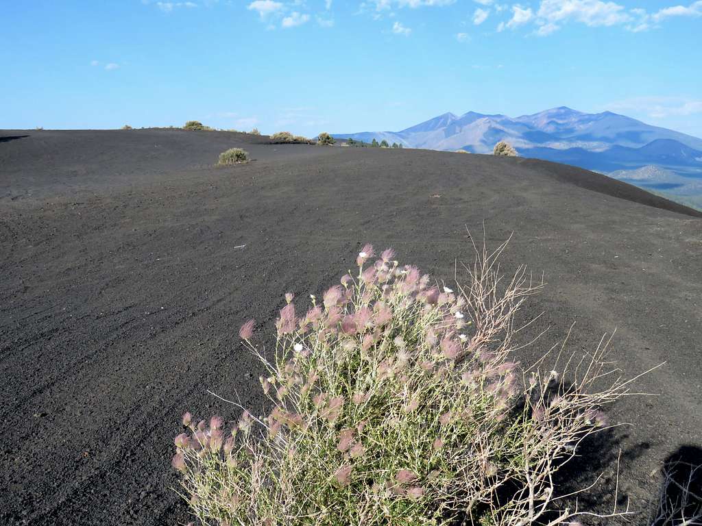
Humphrey Peak in the distance and Peak 7842 ft in front of it.
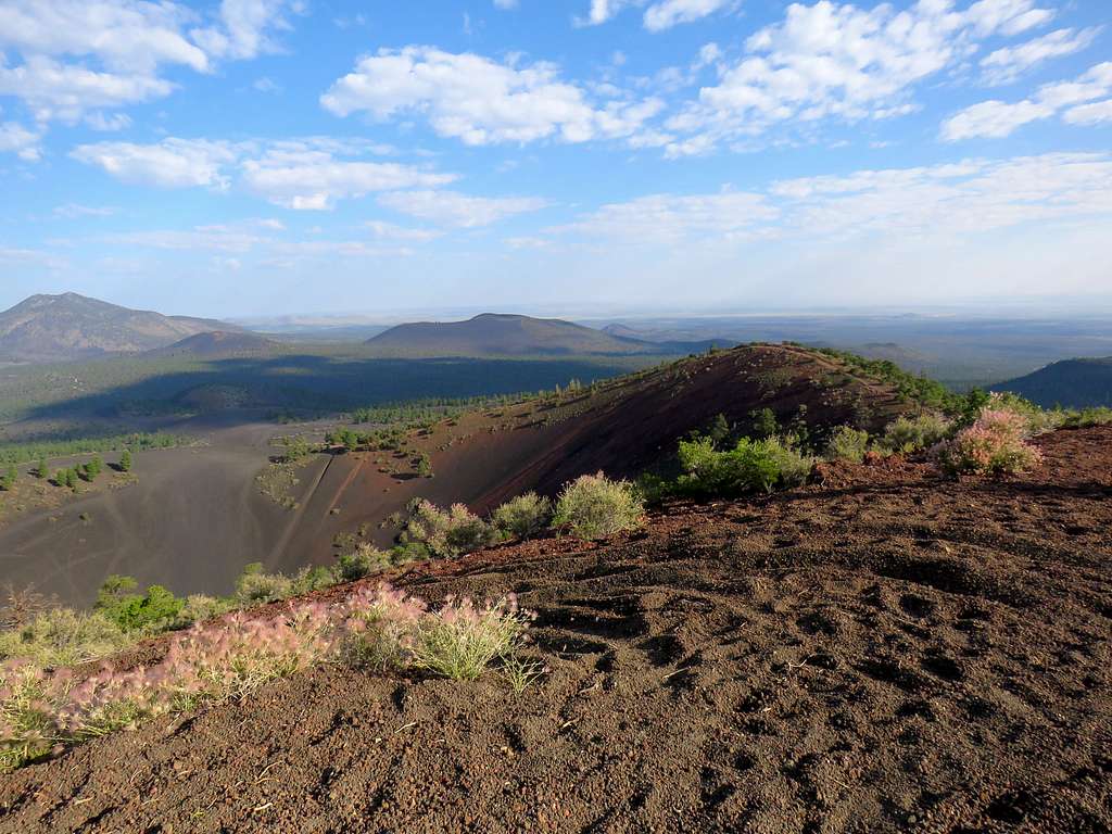
After 20 minutes, I continued south going over the main summit and on the eastern rim of the south crater.
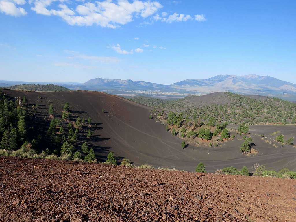
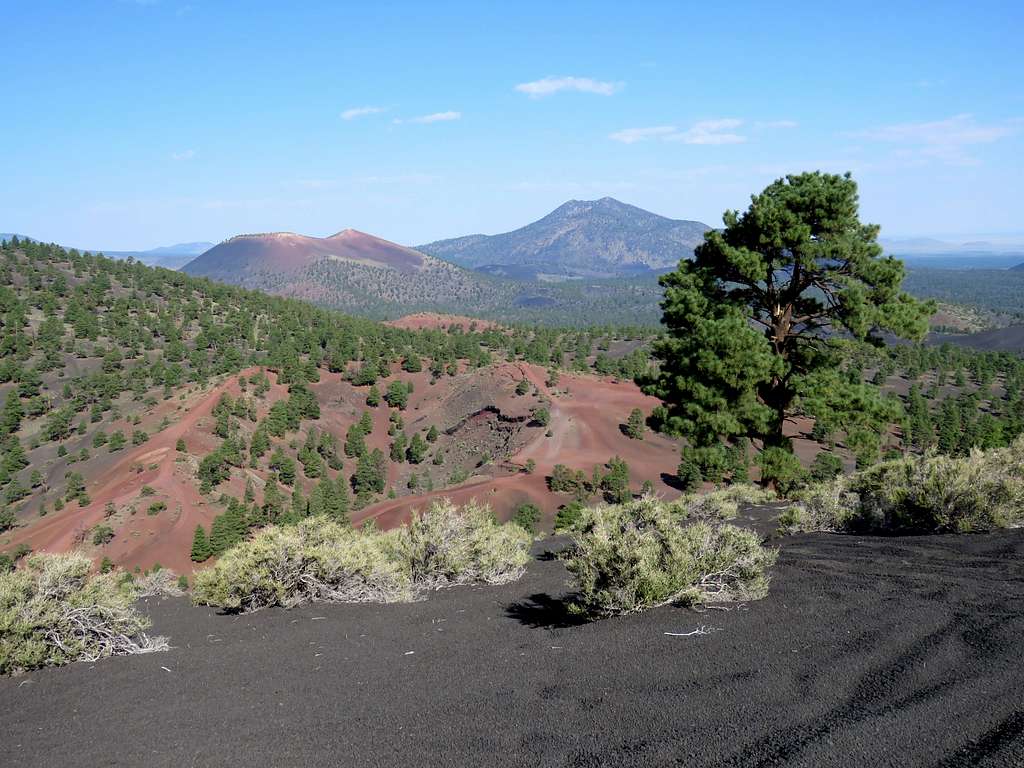
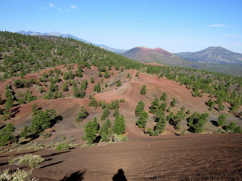
Went around the rim of the south crater all the way to the west side of it. My original plan was to go down into Little Cinder Basin, a closed basin at an elevation of 6965 ft surrounded by higher elevation all around it but I though that was too much elevation to lose and then gain again. The sun was starting to feel hot on the barren black gravel ground. Took a picture of the basin and continued toward Peak 7842 ft.
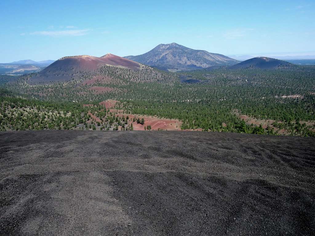
Red colored saddle between where I was and Peak 7842 ft.
Going down steep gravel slopes was easy and fun.
The 7390 ft red colored saddle between Double Crater and Peak 7842 ft.
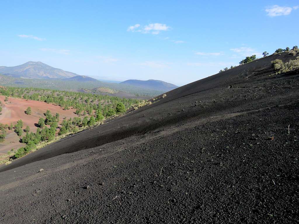
Crossed the red saddle and was back on a black gravel slope in a sparse pine forest going up toward the summit of Peak 7842 ft.
Approaching the summit of Peak 7842 ft.
The tip of Humphreys Peak came to view and with each step, more of it appeared.
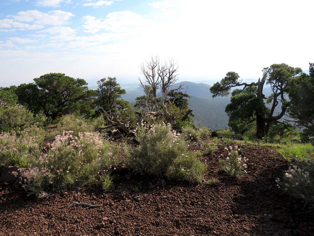
The black barren summit was feeling very hot. To the south, I could see another summit (which was the true summit) with some trees on top of it. I went down a little and then back up again to reach the true summit at 9:35 a.m. and 4.85 miles of hiking. Sat in the shade of a big tree to rest. Elden Peak and the city of Flagstaff to the southwest.
Looking northwest. Sunset Crater and O’Leary Peak.
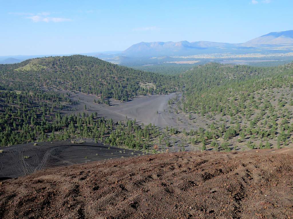
I then went to the north end of Peak 7842 ft and saw where I had started my hike 1.7 miles away on a straight line. Aimed for that spot and began to go down the black gravel slopes.
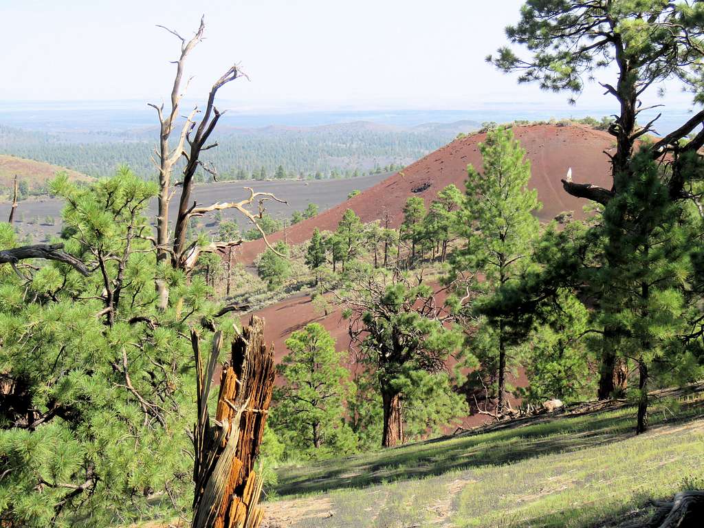
And the red slopes.
Reached the car at 10:42 a.m. and 7.02 miles.
Red Tape
No permits or fees (except for driving through Sunset Crater National Monument to reach where I started my hike).