-
 11105 Hits
-
 71.06% Score
-
 1 Votes
|
|
Mountain/Rock |
|---|---|
|
|
58.26795°N / 134.54723°W |
|
|
Hiking, Scrambling |
|
|
Spring, Summer, Fall, Winter |
|
|
3415 ft / 1041 m |
|
|
Overview
Mt. Ben Stewart is a non-technical off trail climb. It is the highest point on Douglass Island. It starts at Eagle Crest Ski Area at an elevation of about 1000'. This is the highest elevation in all of the Juneau accessible by vehicle which gives you a bit of a head-start on the climb. The summit provides excellent views in all directions around Douglass Island. While Downtown Juneau isn't visible from the summit, (Mt. Troy is in the way) It does have a great view of the Mendenhall Valley on the mainland.
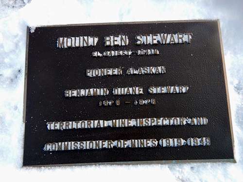
USFS maps show the summit .6 miles to the west of where I marked the summit. There is a plaque on the tallest rock that I have marked. If there is any elevation difference between the peak I have marked and the USFS denoted one on the map, its only maybe a few feet.

Getting There
From Downtown Juneau, head across the Juneau-Douglass bridge and take the first right on the roundabout headed north on Douglass Highway. From there continue 6.0 miles. Take a Left on Eagle Crest Rd. and drive to the end in approximately 5.2 miles.

Route
The Ben Stewart Standard Route starts at the ski hill on City of Juneau land by walking up Log Jam ski run almost straight south from the parking lot. From there deviate towards Cropley Lake. The route crosses the North shore of the lake and from here enters State of Alaska land by heading up a pass to the South-West. I will note that USFS maps show a trail to Cropley Lake, and I have yet to find it. Just before the pass take a sharp right and make your way up a prominent gully. This nearly puts you on the summit. Traverse to the Left on top of the gully and make your way to the summit.
See the route page for more details and for the map and Garmin .gpx files.
Red Tape
There is no red tape here, so please use LNT principles. Calling Eagle Crest ski hill is a nice courtesy in winter.
When to Climb
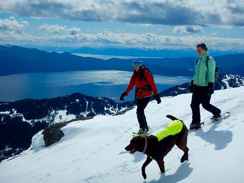
It is best to climb Ben Stewart before the plants have started blooming. In April and May its a easy half day snowshoe and if the conditions are right, a prefect 1000' glissade. In winter the ski hill is actively operating and avalanche control measures are being executed. It is best to call ahead when climbing in the winter as not to interfere with ski hill operations. While technically legal to access the property for public use at any time, its a nice courtesy. This peak is an excellent backcountry ski ascent/descent with great accessibility. In summer the route is brushy at lower elevations.

Camping
Camping is allowed on the State of Alaska land. Use LNT practices.

