-
 2114 Hits
-
 79.78% Score
-
 11 Votes
|
|
Mountain/Rock |
|---|---|
|
|
Hiking, Trad Climbing, Sport Climbing, Scrambling, Skiing |
|
|
Spring, Summer, Fall, Winter |
|
|
5581 ft / 1701 m |
|
|
Overview
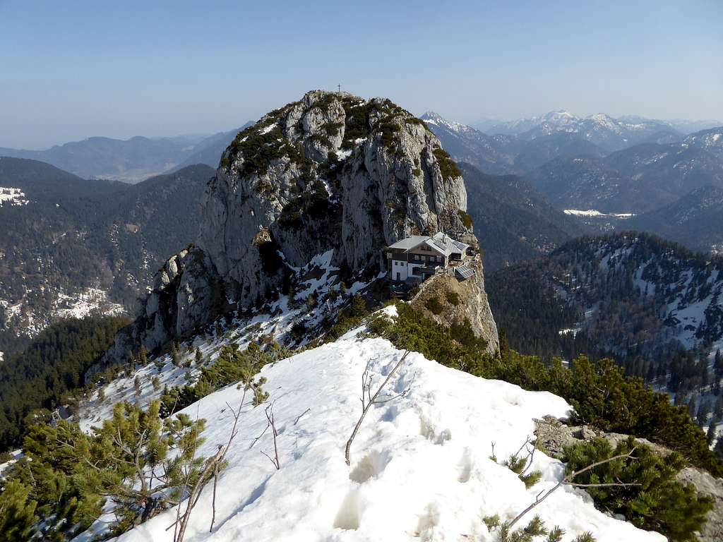
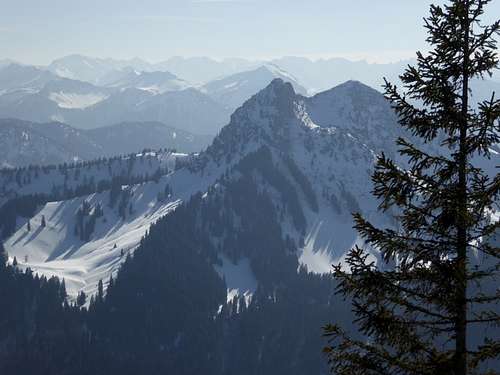
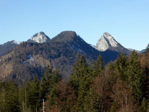
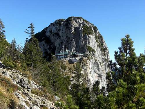
Among the best known and most frequented summits in the Bavarian Prealps the twin peaks Roßstein and Buchstein, separated from each other by a broad col on which sits Tegernseer hut like an eagles nest, are for sure among the top 10.
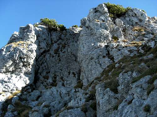
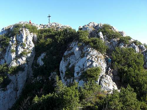
Buchstein is the eastern twin of the twin peaks and is the bold and more difficult brother of Roßstein. To all sides Buchstein shows steep to perpendicular rock faces. The summit zone, however, is a soft meadow and dwarf pine area, an excellent place to be even on crowded summer days. Why? The normal route from Tegernseer hut to Buchstein requires an easy climb through a steep and exposed rock chute (grade 2) so most of the hikers will stay at Tegernseer hut or climb the much easier Roßstein.
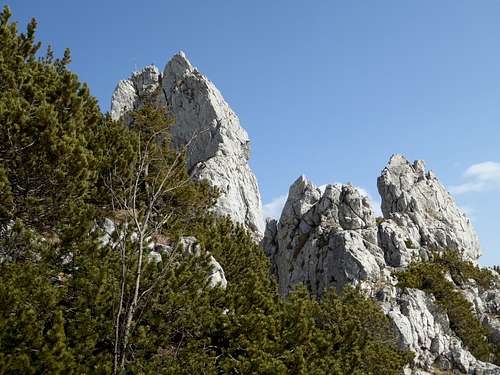
Buchstein is a climbing hot spot, too. Over 90 climbing routes are known in its south, west and north walls, all between one and 5 pitches and most of them difficult to very difficult. South of Roß- and Buchstein another well known rock feature calls the attention of climbers and fotografers: the Roßsteinnadel. Nadels means needle and indeed Roßsteinnadel is a needle shaped bold rock spire. Many climbers have learned their first moves on the 3+ rated normal route to this bold subsummit, the west arete.
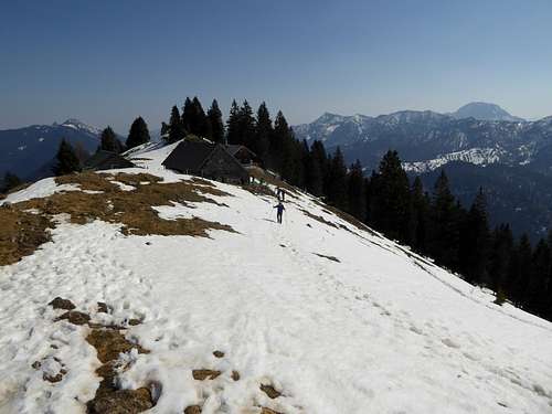
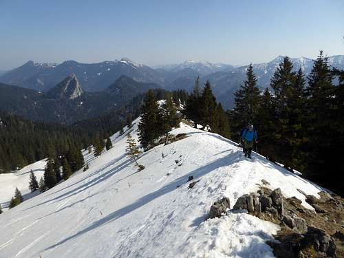
Like Roßstein, Buchstein is climbed all year round. Even on warm winter days you can witness climbers in the south side routes alongside with snow shoe and ski tour mountaineers ascending the winter routes.
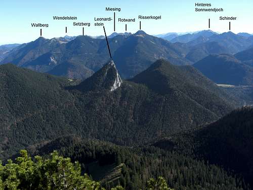
Roß- and Buchstein are an interesting geological feature, too. They are built up of a special limestone, the so called Oberrhätkalk. This limestone is a late triassic coral reef. Consequently you can find fossilised corals besides other fossils, like old seashells, on your way to Roß- and Buchstein. This coral reef stretches east – west and builds up some striking summits, like Leonhardstein and Plankenstein to the east of Roß- and Buchstein, Ruchenköpfe in the Rotwand area and Brünnstein near Kiefersfelden / Inntal. East of Inntal, Wasserwand, one of the Heuberg summits, is built up of Oberrhätkalk, too. The more northern location of this reef outcrop in comparision to south located Brünnstein shows the forces of alpine orogeny and a shift of several 10 km along the huge thrust fault hidden below the northernmost Inntal valley.
Getting There
- Main trailheads are the parking areas “Schwarzentenn” for the north routes and “Roß- und Buchstein” for the south route along road number B307 south of Tegernsee and Kreuth.
- Bike and hike can be started at parking area “Söllbach” above Bad Wiessee, using the forest roads of Söllbach valley to Schwarzentenn Alm, where start the north route to Roß- and Buchstein.
- Another long route is the west route starting at the hiker parking area “Am kalten Wasser” alongside road number B13 south of Lenggries and Fleck.
The first three trailheads for the north and south routes can be reached by car:
Leave highway A8, Munich-Salzburg, at the exit Holzkirchen. Proceed on road number B318 to Bad Wiessee.
For trailhead “Söllbach” turn on Söllbachstraße at Bad Wiessee and follow this road to the hiker parking area.
For trailhead “Schwarzentenn” follow road number B318 to Weissach. Turn right on road number B307 and follow this road passing through the village of Kreuth until you reach the marked parking area to your right.
For the parking area “Roß- und Buchstein” follow B307 for about 3 more km.
Public transportation
The “Schwarzentenn” and “Roß- und Buchstein” - trailheads can be reached by railroad to Tegernsee (BOB – Bayerische Oberlandbahn) and then by bus number 9550, stop “Kreuth-Klamm” for the north route and “Kreuth – Tegernseer Hütte” for the south route.
The trailhead for the western route can be reached by car:
Leave highway A8, Munich-Salzburg, at the exit Holzkirchen. Leave road number B318 to the village of Holzkirchen and go on road number B13 to Bad Tölz, Lenggries and Fleck. About 3,3 km south of Fleck you reach the hiker parking area “Am kalten Wasser”.
The next railway station is Lenggries. Unfortunately there is no public transportation from Lenggries railway station to the trailhead, many km south of Lenggries.
Routes Overview
South route
Starting at trailhead “Roß- und Buchstein” follow the trail number 609 to Sonnbergalm Niederleger, Sonnbergalm Hochleger and Sonnberg col. Take the short and easy via ferrata to Tegernseer Hütte or bypass the via ferrata on the Roßstein southwest side and take trail 633 (“Altweibersteig”) to gain Tegernseer Hütte from the north.
North routes
From trailhead “Schwarzentenn”:
Follow the forest road, marked route number 604 to the beginning of the clearing of Schwarzentenn Alm. Turn left on trail number 609 and proceed to Buchsteinhütte and steeply up the north slopes to Tegernseer Hütte.
From trailhead “Söllbach”:
Ride your bike on the forest road marked number 604 to Schwarzentenn Alm. Leave it where trail number 609 goes up to Buchsteinhütte and Tegernseer Hütte.
West route
Follow the forest road up to Röhrmoosalm (biking possible) and ascend on trail number 633 to Roßsteinalm. Follow trail number 633 via the north slope to Tegernseer hut or go to Sonnberg col and use the easy via ferrata to Tegernseer hut.
Tegernseer Hütte – Buchstein
Cross the terrace of Tegernseer Hütte and climb directly up the steep rock chute up to the summit zone. Rated UIAA grade 2, slippery and polished rock. Follow the easy trail of the summit zone over some rocks to the summit.
Traverse route
From Tegernseer hut to Roßsteinalm – Hochplatte – Schönberg – Seekarkreuz and Lenggrieser hut.
Buchstein climbing routes
Buchstein hosts actually about 90 climbing routes, most of them very difficult. Most of the routes are south or west exposed and therefore accessible even on warm winter days. For hot summer days Buchstein offers some northern exposed routes, too. The best known routes are:
- „Zauberrippe“ (6-)
- „Südwandschmankerl“ (6-)
- „Mann oder Memme“ (7-/8-)
- „Via Weißbier“ (7)
- „Der kleine Prinz“ (8),
- „Via Campari“(9+; the most difficult route on Buchstein)
Roßsteinnadel:
- West arete normal route (3+)
- East arete (7-/7), once rated as the most difficult climbing route of the German Alps
Red Tape & Accommodation
The north slope of Roßstein and Buchstein is a winter wildlife restriction area.
No trespassing during snow cover times.
There are no more restrictions in this area.
The hiker parking areas require a parking fee.
Valley accommodation:
Mountain accommodation:
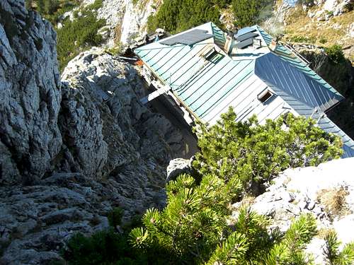
Tegernseer Hütte: alpine club hut, open in summer, 23 overnight places
Buchsteinhütte: private hut north of Roß- and Buchstein 34 overnight places
Schwarzentenn Alm: only food and drinks
Gear & Mountain Condition
Hiking ascents require no special gear.
The easy via ferrata needs no ferrata kit. A helmet can be useful for Buchstein ascent on the normal route. You should master grade 2 climbing terrain for the Buchstein normal route.
Winter ascents on ski and snow shoes require avalanche gear.
See the Bavarian avalanche bulletin here.
For most and well equiped Buchstein climbing routes a 60 m rope and about 12 quickdraws are sufficient.
Weather on Roß- and Buchstein:
Map
Deutscher Alpenverein and Landesamt für Vermessung und Geoinformation Bayern:
Alpenvereinskarte Bayerische Alpen, Mangfallgebirge West, Tegernsee, Hirschberg;
map number BY13, scale 1 : 25000, with trails, ski routes, UTM grid


