|
|
Mountain/Rock |
|---|---|
|
|
47.90958°N / 121.36496°W |
|
|
Snohomish |
|
|
5433 ft / 1656 m |
|
|
Overview
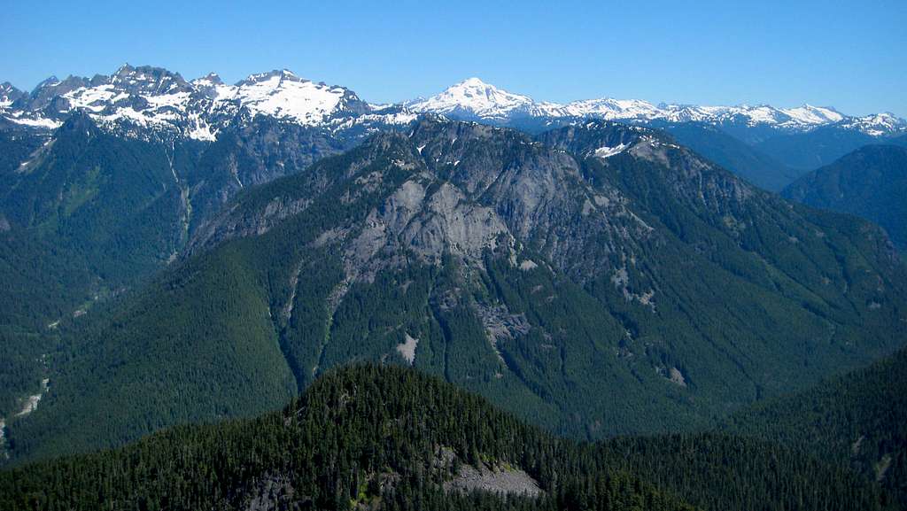
Troublesome Mountain is a rugged 5433' peak located 10 miles E/NE of Index, Washington, and two miles northwest of the now defunct resort of Garland Mineral Springs. Generally speaking, it is bound on the south and east sides by the North Fork Skykomish River, and on the north and west sides by Troublesome Creek.
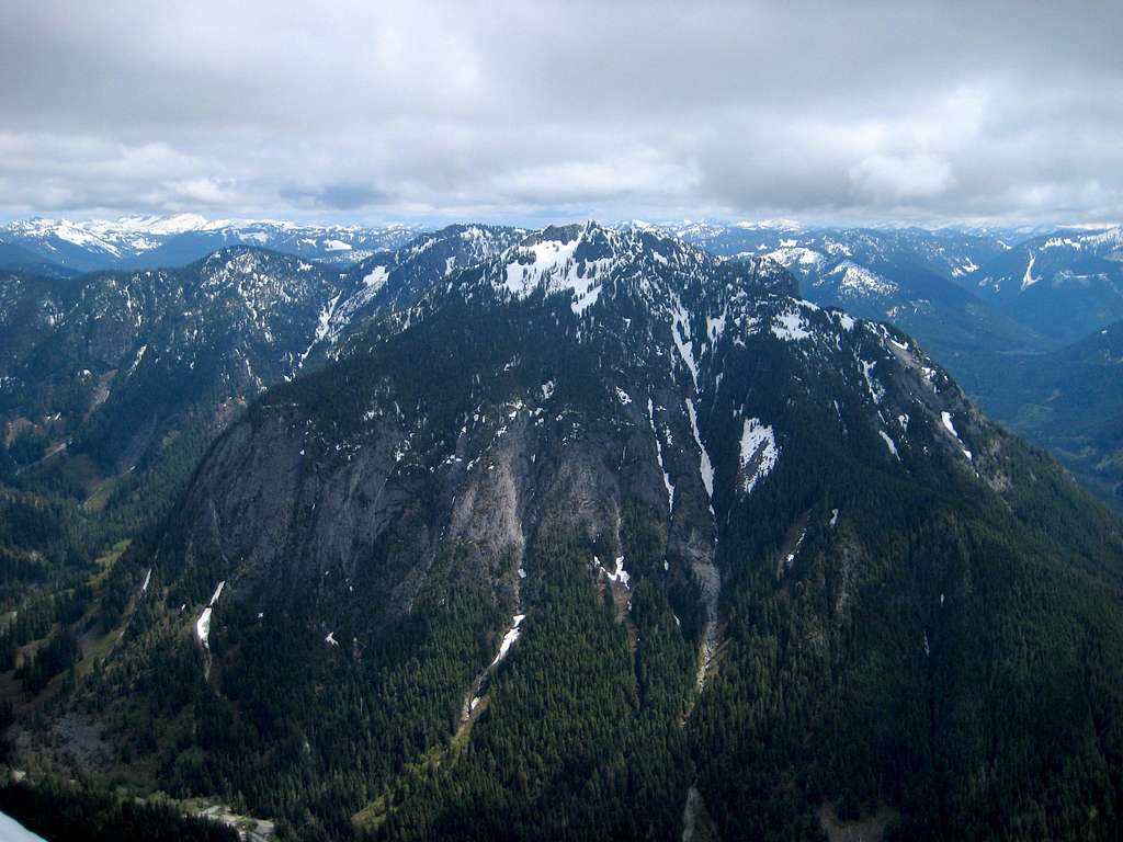
While not particularly impressive in terms of elevation, Troublesome Mountain does boast 853' of prominence - perhaps enough to temp local peakbaggers. Additionally, just one mile to the east lies 'Double Toil', a 5427' (767' prom.) high point that makes for a relatively easy '2fer'.
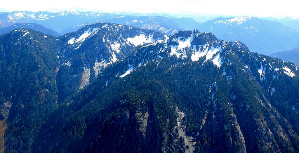
As with so many other peaks, there is more than one practical way to approach Troublesome Mountain. Having said that, the Southeast Ridge approach described below should result in less elevation gain, distance, and effort than the Southwest Ridge and Virgin Lake approach.
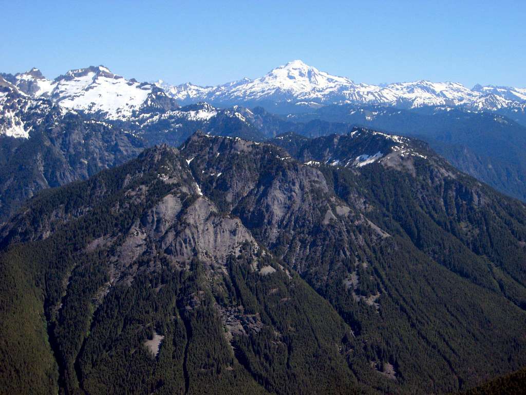
While Troublesome Mountain certainly isn't a part-day pushover (4000+' of cumulative elevation gain), it is one of the easier Wild Sky Wilderness peaks with unrestricted views, and certainly deserves more attention than it has received in recent years.
Getting There
Note: When the North Fork Skykomish River Road FINALLY gets repaired (hopefully in a couple years), driving in from Index will probably be more convenient for most. Until then, the Beckler River Road/Jack Pass approach will have to suffice.
Follow US2 to the Beckler River Road (FR65), located one mile east of Skykomish. Follow FR65 up and over Jack Pass - the first seven miles will be paved. After crossing the North Fork Skykomish River, FR65 will intersect with FR63. Stay left on FR63, and follow it west - at this point, the road is once again paved. After 0.7 miles, find a suitable place to park that is just west of Garland Mineral Springs, and just east of the large creek draining south from Double Toil (we parked at N47 53.373 W121 20.835). Please note that the 'new' FR63 has been rerouted slightly uphill from what is depicted on USGS maps, and you will not actually see Garland Mineral Springs.
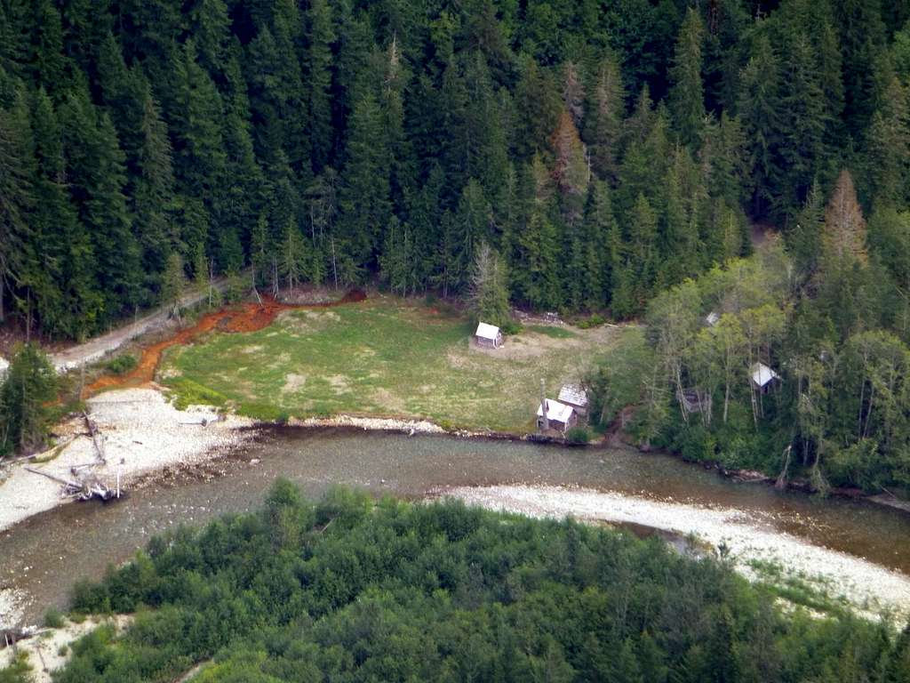
On the right side of the photo below, you can pick out Garland Mineral Springs, FR63, and the 'boomerang' shaped Southeast Ridge that will give you easy access to the upper reaches of Troublesome Mountain.
Route
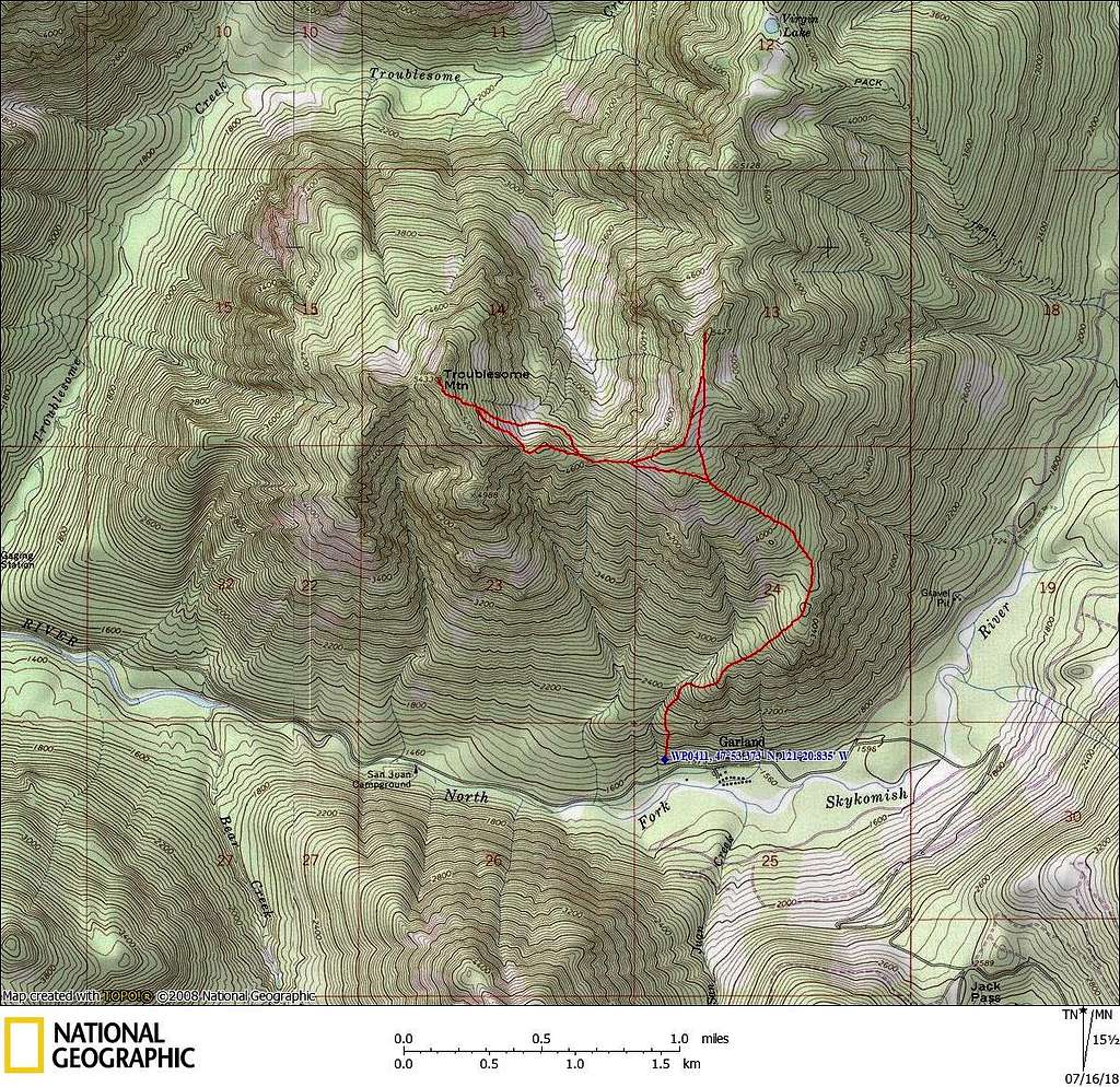
From the aforementioned parking spot, plunge straight uphill into the woods. Within 100', you will be pleased to discover that the roadside brush gives way to almost brush-free open forest. For the first 1000' or so of elevation gain, you will want to stay relatively close to the creek on your left to avoid nuisance cliff bands.
From 1600' to 2000', keep your eyes open for an old, wire-wrapped, wood water pipe descending obliquely toward Garland Hot Springs. I'm not sure if this was used as a fresh water source or for power generation. For a long-winded (but interesting) thread on the history of this resort, click HERE.
At about 2600', you can begin migrating to the right (away from the creek) if you wish. Keep your eyes open for a faint game trail, which may provide slightly easier travel for those with decent tracking skills. For the next 1000' (until the ridge makes a left turn at 3600'), you will pass a series of rocky outcroppings (easily navigated) that will provide pleasant viewpoints to those wishing to make short side trips.
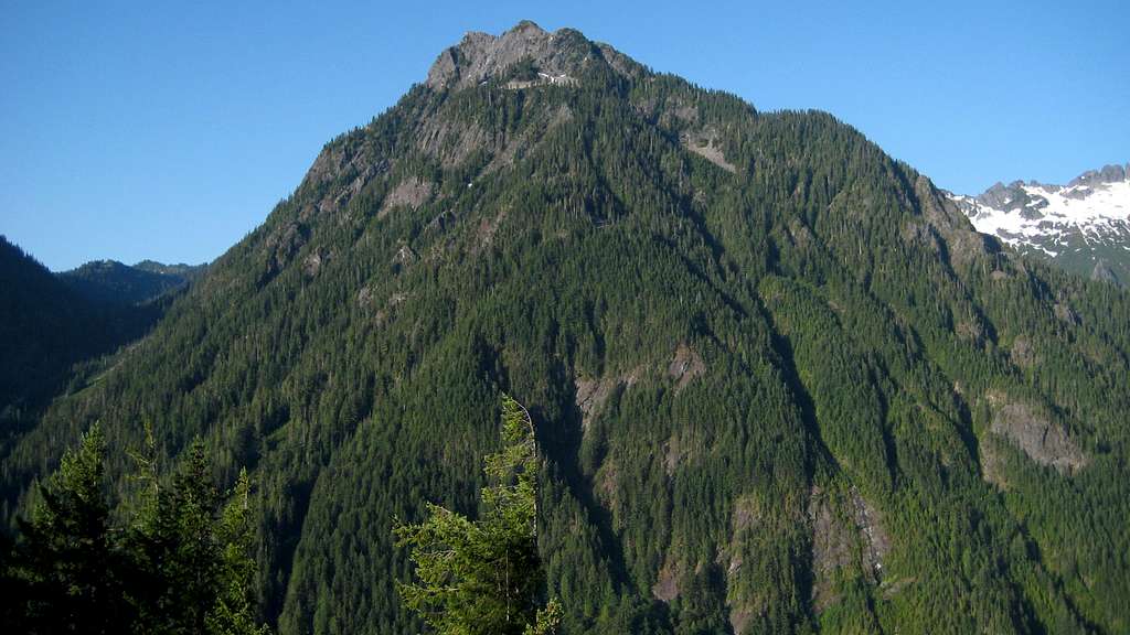
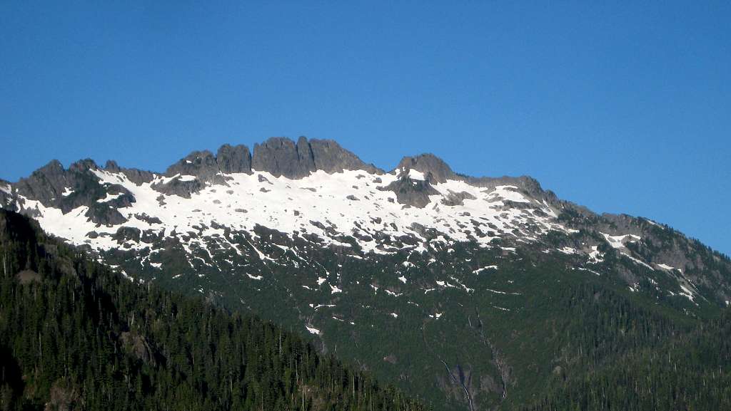
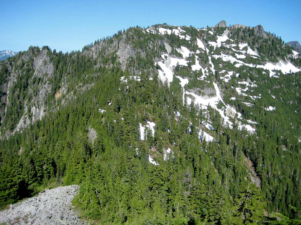
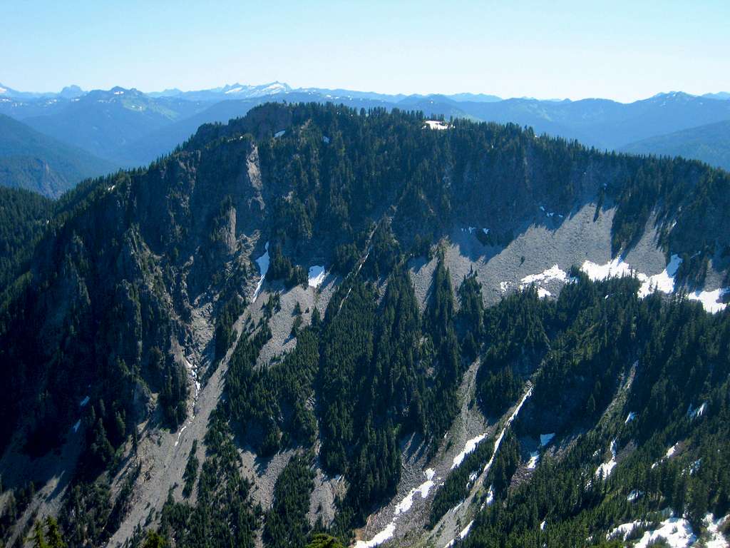
At 3600', after passing a flat stretch in the ridge, turn northwest, and head straight uphill. Within a few hundred vertical feet, you will begin encountering scattered talus slopes that will provide easy access to the upper reaches of Troublesome Mountain and Double Toil. The photo below does a fairly decent job of showing this slope (just left of center).
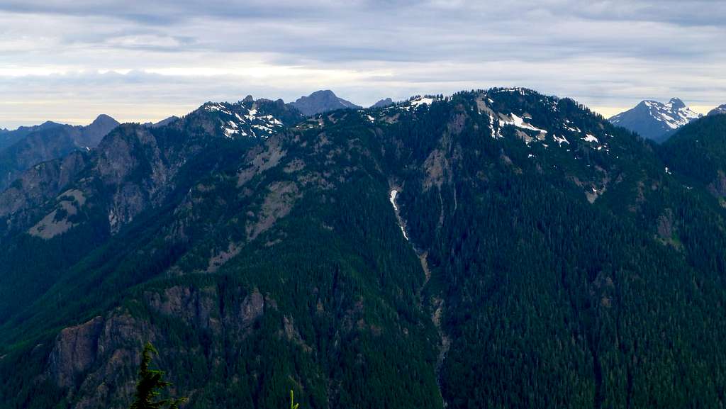
The only drawback of these open, southeast facing slopes is that they get warm in a hurry in the morning sun - an early start is highly recommended for summer climbs. Upon reaching 4800', you must now decide if you want to go for Double Toil or Troublesome Mountain first. Personally, I would recommend Double Toil first, so you may study the scramble route for Troublesome Mountain from its summit. The final 600' climb up Double Toil from the south presents an open, low-angle ridge with no special difficulties.
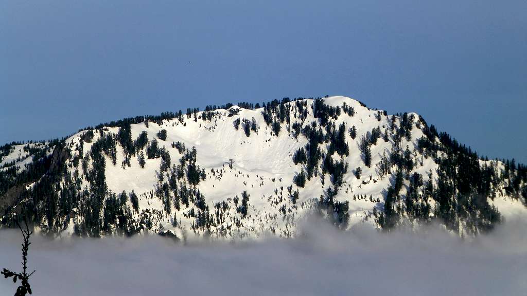
Views from Double Toil's summit are actually pretty good (only a few obscuring trees), so it would actually make an acceptable stand-alone summit if one were feeling particularly lazy. (We were surprised to discover it was only 2.5 hours car-to-summit, despite the energy-sapping July sun.) Please use caution for northwest-facing cliffs on Double Toil's summit, which are partially obscured by small, brushy trees.
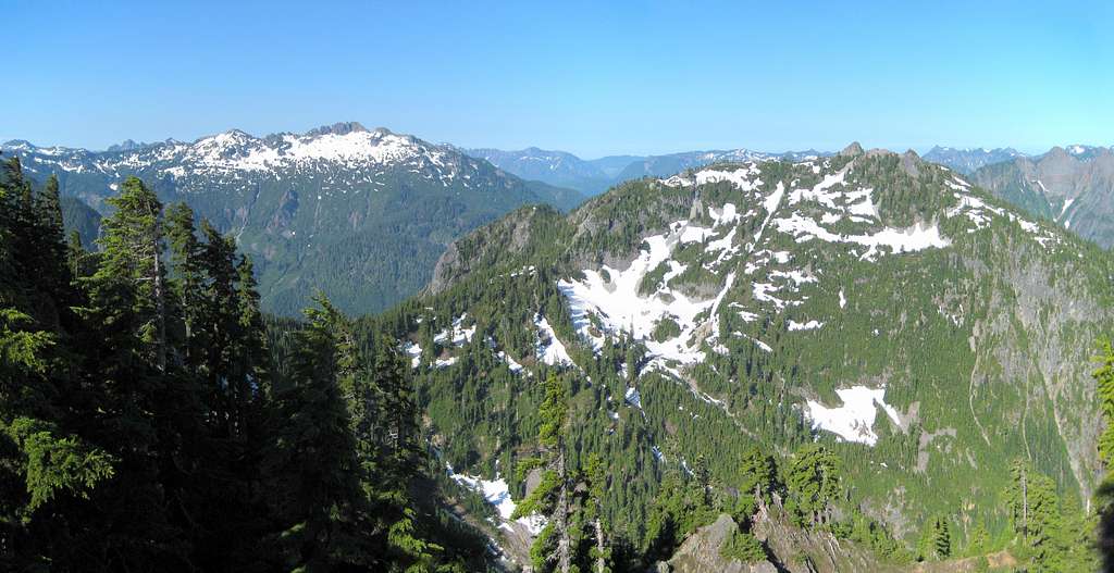

To continue on to Troublesome Mountain, backtrack the connecting ridge fairly close to the crest - you should be able to follow goat paths for a good part of your journey.
Upon reaching the Troublesome Mountain/Double Toil saddle at 4650', you are faced with two options: 1. Drop about 100' down off the ridge to the right (north) side and traverse west toward an open basin, or 2. Continue over a 4800' high point in the ridge to a second saddle, and then drop directly north into the basin. Having tried both, I felt that option #2 was a little more scenic and slightly easier.
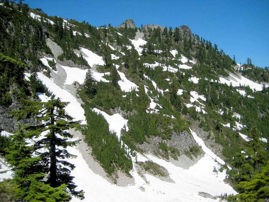
Note: It does not appear practical to continue following the ridge to Troublesome Mountain's summit block, due to cliff bands and crumbling rock.
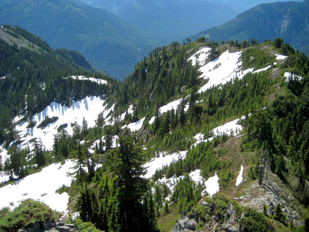
From the aforementioned basin (snow-filled until late season, some running water) at 4600', make a rising traverse to the northwest, with the goal of regaining the ridge crest just south of the summit block. As you ascend, the summit block will be the high point on the far left. Upon cresting the ridge at 5300', turn right for an easy scramble to the summit - it will be mostly class 2, with a few low-exposure class 3 moves.
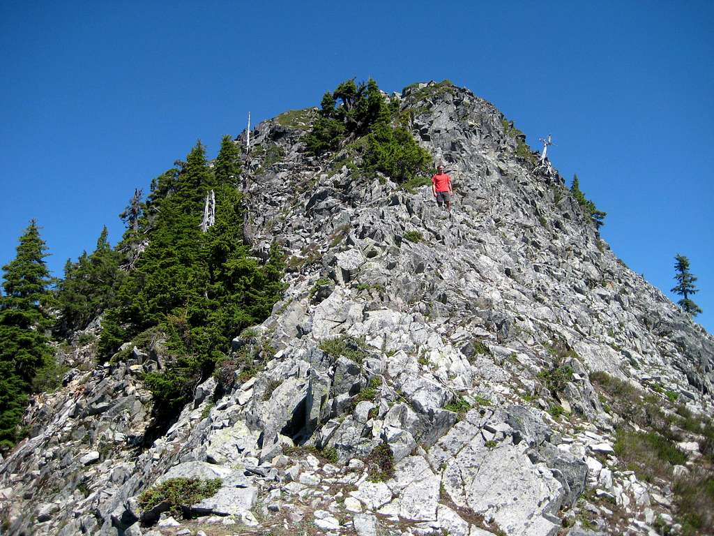
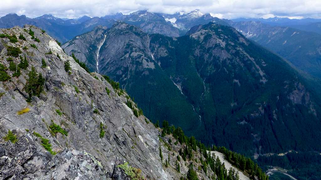
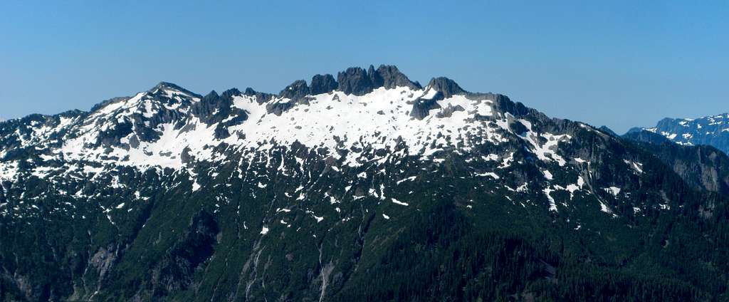
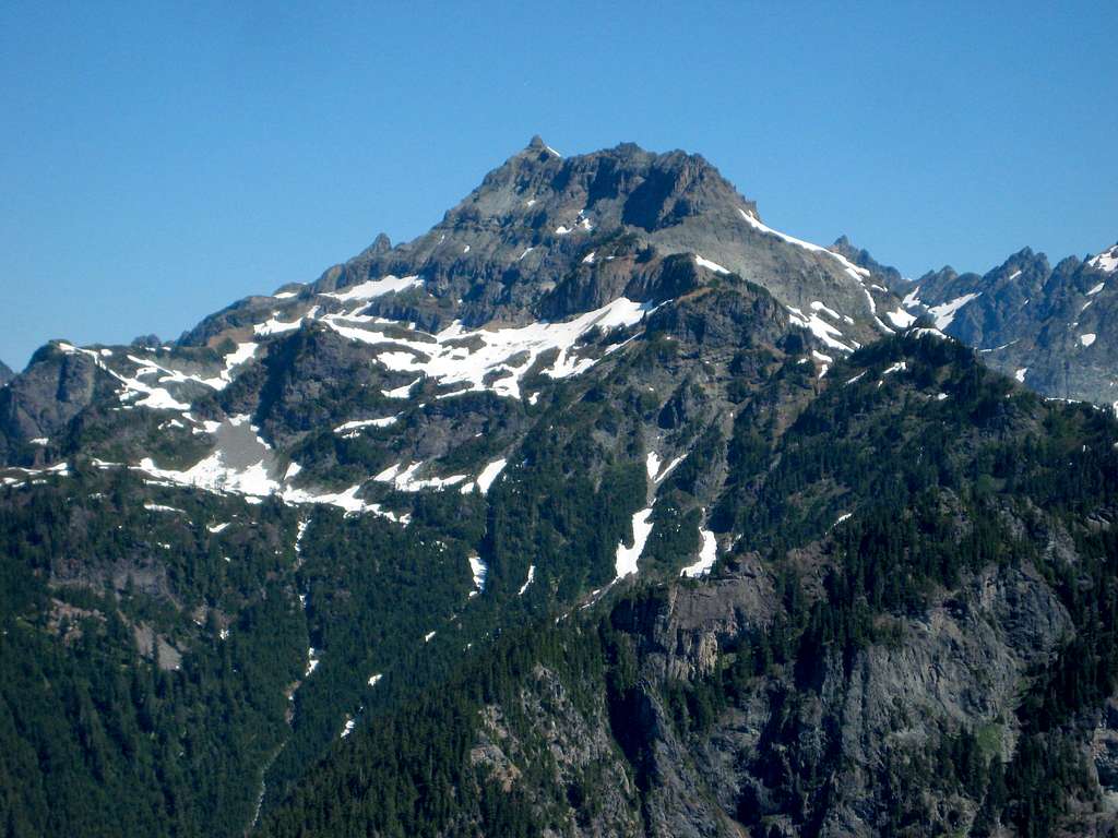
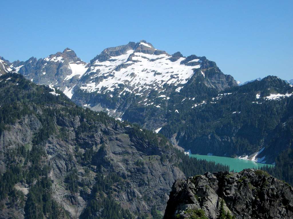
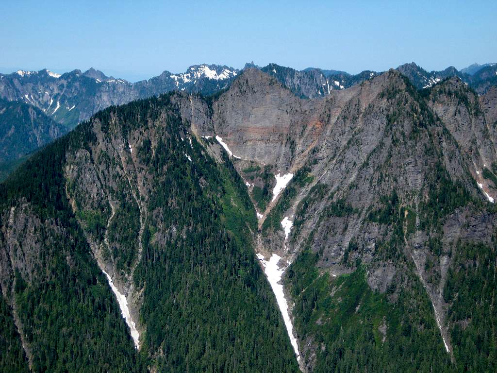
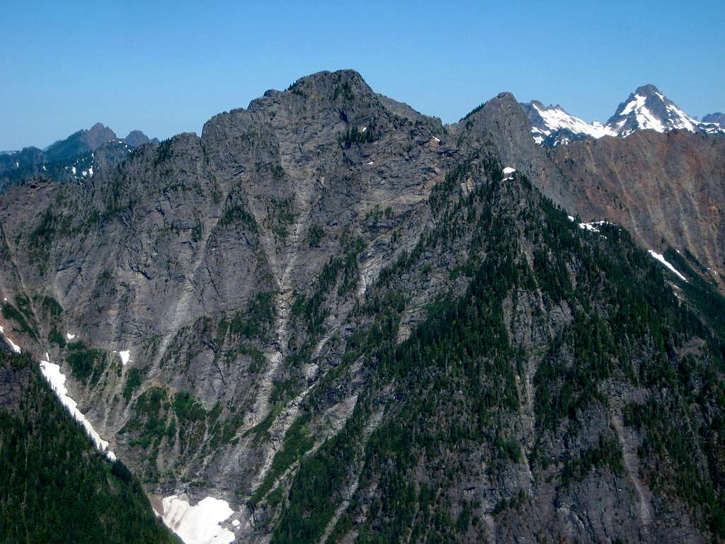
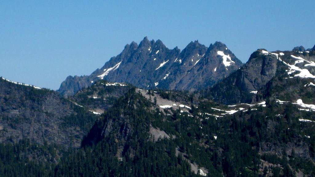
Upon arrival at the summit, you will be pleased to discover that Troublesome Mountain yields great views, despite it's short stature.


Other Approaches:
Blanca Lake Trail - At one time, this was the most popular way to climb Troublesome Mountain. With FR63 now closed two miles from the Blanca Lake Trailhead, this option is now less popular. Follow the Blanca Lake Trail until just before Virgin Lake (about 4600'), then turn south. Follow the ridge over 'Toil' (Point 5128), then on to Double Toil and Troublesome Mountain. Fred Beckey describes the traverse as 'fairly arduous' in the Cascade Alpine Guide, but truthfully, it doesn't look that bad. Having never done it, I should probably reserve judgement.
Southwest Ridge - Please see Eric Willhite's page HERE that describes an ascent of Troublesome Mountain via the Southwest Ridge.
Red Tape
A parking pass is not required to park along this section of FR63. This road can get fairly busy in the summer, so please park well off the road if able.
When to Climb
This route could probably be climbed almost year round, provided the avalanche hazards were reasonable. The biggest limitation will be waiting for Jack Pass to be plowed out in the spring. Once the North Fork Skykomish River Road is reopened, this area should have access most of the year.
Camping
For civilized camping, the Troublesome Creek Campground is just west of the start of the route. For camping on the route, there are large flat areas available at 3600', or one could choose to camp near the top of Double Toil for the 'big dollar' views.

