
-
 5327 Hits
-
 70.83% Score
-
 1 Votes
|
|
Mountain/Rock |
|---|---|
|
|
39.05974°N / 112.13774°W |
|
|
Millard |
|
|
Hiking |
|
|
Spring, Summer, Fall, Winter |
|
|
10005 ft / 3050 m |
|
|
Overview
Coffee Peak is the northernmost 10,000-foot peak in the Pahvant Mountain Range of Central Utah. The drive is more difficult than the hike but the views are gorgeous all along the way. The summit rises above the plateau of the main range by only a few hundred feet but stands about 5,000 feet above the deserts to the west and 3,000 feet above the valley to the east.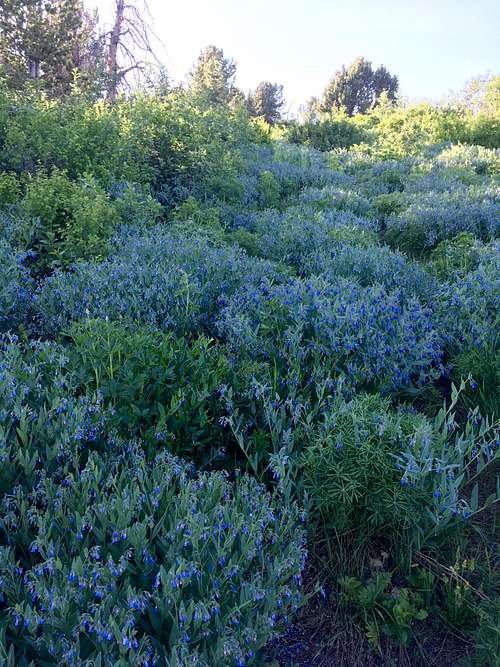
Flamboyant Flowers
Getting There
The peak is about 15 miles south of the town of Scipio and 12 miles northeast of the town of Fillmore. To get to the easiest route up the peak, a 4WD road is required. From Scipio, drive south on US-50 about 16.9 miles and take a right onto FR102 and take this fairly well-maintained dirt road to the center of the Pahvant Range. Turn right onto FR096 and drive approximately 11.9 miles of rocky, poorly maintained dirt road to the south side of the peak, which is past Robins Valley and Robins Lake.Route
There is an obvious pullout to the peak's south on the dirt road. Head straight north from the Spring Canyon Trail sign. There is a faint trail that fades in and out through a meadow that travels all the way to the summit from the road.Distance: 1 mile round-trip
Elevation Gain: 312 feet![Little Topo]()
Little Topo
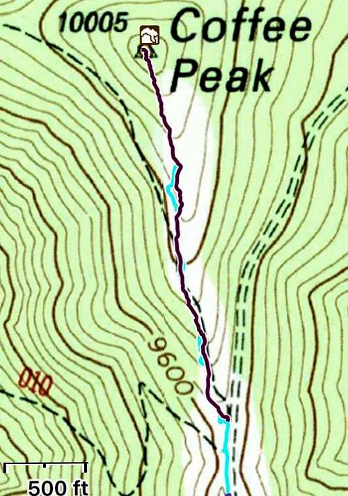
Little Topo