
-
 2099 Hits
-
 70.83% Score
-
 1 Votes
|
|
Mountain/Rock |
|---|---|
|
|
39.15249°N / 111.48697°W |
|
|
San Pete |
|
|
Hiking, Skiing |
|
|
Spring, Summer, Fall, Winter |
|
|
10897 ft / 3321 m |
|
|
Overview
This peak is actually the highest point along the Skyline Drive that bisects the Wasatch Plateau, which means this can be climbed in a vehicle when conditions are right. It is the northernmost peak in the mountain cluster at the southern portion of the Wasatch Plateau.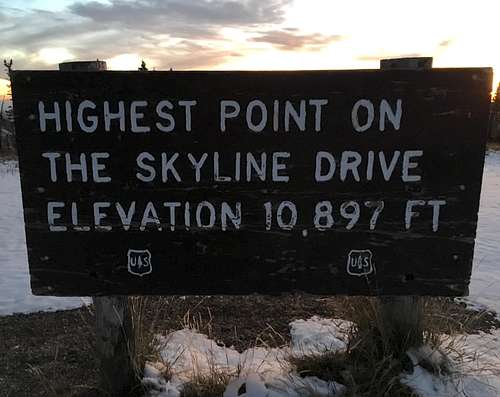
Summit of High Top
Getting There
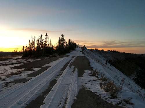
From Mayfield, drive east on East Canyon Road that turns into Forest Road 0022. Take a slight right after 5 miles onto Forest Road 0023. Drive for 0.6 miles and turn right onto FR 0290 or continue straight onto FR 0022. This is a well-maintained dirt road that veers northeast to Skyline Drive at Twelve Mile Flat Campground. You can start the hike anywhere along Skyline Drive as the road actually goes to the summit.Route
You can drive all the way to the summit during the summer. However, during the fall and spring, much of the road can be impassable due to snow. Skyline Drive from the south is still the easiest route at Class 2, but the shortcut up the 3rd class ridge can cut off close to a mile. The measurements below were taken from Twelve Mile Flat.Round-trip Distance: 6 miles
Elevation Gain: 730 feet
![Summit Flat]()
Summit Flat![Southwest Profile]()
Southwest Profile
Summit Flat
Red Tape
US Forest Service manages this area. No permit is required. You can park near the restrooms in the southern part of the campground without any trouble. Practice "Leave No Trace" ethics.When to Climb
Year-round though a snowmobile, skis, and/or snowshoes would be extremely helpful in winter.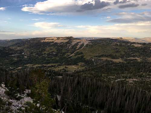
Southwest Profile